Distance to Cub Run, Kentucky

Calculating Your Route
Just a moment while we process your request...
Location Information
-
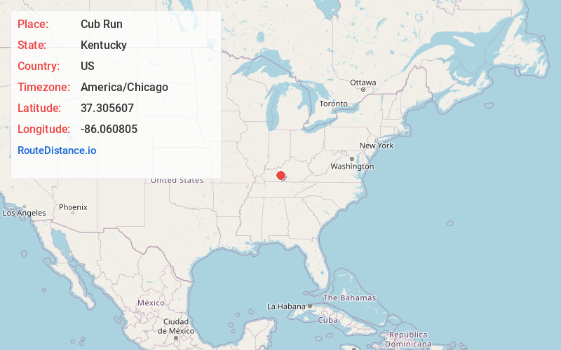
Full AddressCub Run, KY 42729
-
Coordinates37.3056068, -86.0608048
-
LocationCub Run , Kentucky , US
-
TimezoneAmerica/Chicago
-
Current Local Time11:04:12 AM America/ChicagoMonday, June 23, 2025
-
Page Views0
About Cub Run
Cub Run is an unincorporated community in Hart County, Kentucky, United States. It was also known as The Crossroads.


Nearby Places
Found 10 places within 50 miles

Roseburg
2.0 mi
3.2 km
Roseburg, KY 42729
Get directions
Winesap
2.8 mi
4.5 km
Winesap, KY 42765
Get directions
Bee
2.9 mi
4.7 km
Bee, KY 42729
Get directions
Dogcreek
3.7 mi
6.0 km
Dogcreek, KY 42729
Get directions
Pine Springs
3.7 mi
6.0 km
Pine Springs, KY 42726
Get directions

Wax
4.8 mi
7.7 km
Wax, KY 42726
Get directions
Pearman
5.4 mi
8.7 km
Pearman, KY 42726
Get directions
Linwood Park
5.5 mi
8.9 km
Linwood Park, KY 42726
Get directions
Kessinger
5.6 mi
9.0 km
Kessinger, KY 42765
Get directions
Logsdon Valley
6.1 mi
9.8 km
Logsdon Valley, KY 42765
Get directions
Location Links
Local Weather
Weather Information
Coming soon!
Location Map
Static map view of Cub Run, Kentucky
Browse Places by Distance
Places within specific distances from Cub Run
Short Distances
Long Distances
Click any distance to see all places within that range from Cub Run. Distances shown in miles (1 mile ≈ 1.61 kilometers).