Distance to Culver, Kentucky

Calculating Your Route
Just a moment while we process your request...
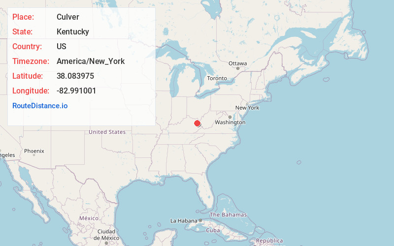
Location Information
-
Full AddressCulver, KY 41171
-
Coordinates38.0839748, -82.991001
-
LocationCulver , Kentucky , US
-
TimezoneAmerica/New_York
-
Current Local Time1:13:11 PM America/New_YorkFriday, June 20, 2025
-
Page Views0
About Culver
Culver is an unincorporated community in Elliott County, Kentucky, United States. It lies along Route 486 east of the city of Sandy Hook, the county seat of Elliott County. Its elevation is 735 feet.
Nearby Places
Found 10 places within 50 miles

Sarah
2.2 mi
3.5 km
Sarah, KY 41149
Get directions
Fielden
2.7 mi
4.3 km
Fielden, KY 41180
Get directions
Burke
3.1 mi
5.0 km
Burke, KY 41171
Get directions
Newcombe
3.4 mi
5.5 km
Newcombe, KY 41149
Get directions
Bays Branch
3.7 mi
6.0 km
Bays Branch, Kentucky 41124
Get directions
Mazie
4.1 mi
6.6 km
Mazie, KY 41159
Get directions
Dobbins
6.1 mi
9.8 km
Dobbins, KY 41180
Get directions
Roscoe
6.6 mi
10.6 km
Roscoe, KY 41171
Get directions
Newfoundland
6.7 mi
10.8 km
Newfoundland, KY 41171
Get directions
Hannah
6.9 mi
11.1 km
Hannah, KY 41124
Get directions
Location Links
Local Weather
Weather Information
Coming soon!
Location Map
Static map view of Culver, Kentucky
Browse Places by Distance
Places within specific distances from Culver
Short Distances
Long Distances
Click any distance to see all places within that range from Culver. Distances shown in miles (1 mile ≈ 1.61 kilometers).