Distance to Sarah, Kentucky

Calculating Your Route
Just a moment while we process your request...
Location Information
-
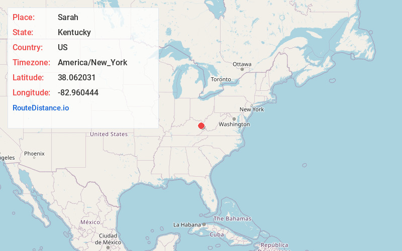
Full AddressSarah, KY 41149
-
Coordinates38.0620312, -82.9604443
-
LocationKentucky , US
-
TimezoneAmerica/New_York
-
Current Local Time8:24:13 PM America/New_YorkSunday, June 1, 2025
-
Page Views0
About Sarah
Sarah is an unincorporated community within Elliott County, Kentucky, United States. Its post office is closed.
Nearby Places
Found 10 places within 50 miles

Mazie
2.5 mi
4.0 km
Mazie, KY 41159
Get directions
Keaton
5.3 mi
8.5 km
Keaton, KY 41226
Get directions
Houckville
6.7 mi
10.8 km
Houckville, KY 41180
Get directions
Cherokee
6.8 mi
10.9 km
Cherokee, KY 41180
Get directions
Dobbins
6.8 mi
10.9 km
Dobbins, KY 41180
Get directions

Blaine
6.8 mi
10.9 km
Blaine, KY 41124
Get directions
Roscoe
7.6 mi
12.2 km
Roscoe, KY 41171
Get directions
Relief
8.3 mi
13.4 km
Relief, KY 41472
Get directions
Redbush
8.5 mi
13.7 km
Redbush, KY 41219
Get directions

Sandy Hook
9.2 mi
14.8 km
Sandy Hook, KY 41171
Get directions
Location Links
Local Weather
Weather Information
Coming soon!
Location Map
Static map view of Sarah, Kentucky
Browse Places by Distance
Places within specific distances from Sarah
Short Distances
Long Distances
Click any distance to see all places within that range from Sarah. Distances shown in miles (1 mile ≈ 1.61 kilometers).