Distance to Cumberland, Virginia

Calculating Your Route
Just a moment while we process your request...
Location Information
-
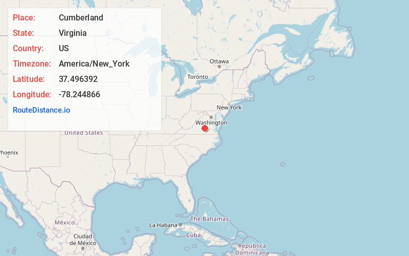
Full AddressCumberland, VA 23040
-
Coordinates37.4963918, -78.2448664
-
LocationCumberland , Virginia , US
-
TimezoneAmerica/New_York
-
Current Local Time11:49:32 PM America/New_YorkThursday, June 19, 2025
-
Page Views0
About Cumberland
Cumberland is a census-designated place in and the county seat of Cumberland County, Virginia, United States. Cumberland lies along U.S. Route 60 and State Route 45. It is 48 miles west of Richmond and 51 miles east of Amherst. The population as of the 2020 census was 365.


Nearby Places
Found 10 places within 50 miles

Dillwyn
12.1 mi
19.5 km
Dillwyn, VA 23936
Get directions

Farmville
15.7 mi
25.3 km
Farmville, VA 23901
Get directions

Powhatan
18.1 mi
29.1 km
Powhatan, VA 23139
Get directions
Hampden Sydney
21.1 mi
34.0 km
Hampden Sydney, VA 23901
Get directions

Burkeville
21.5 mi
34.6 km
Burkeville, VA 23922
Get directions

Crewe
23.3 mi
37.5 km
Crewe, VA 23930
Get directions

Goochland
23.6 mi
38.0 km
Goochland, VA 23063
Get directions

Scottsville
25.0 mi
40.2 km
Scottsville, VA 24590
Get directions

Lake Monticello
29.3 mi
47.2 km
Lake Monticello, VA 22963
Get directions

Esmont
30.5 mi
49.1 km
Esmont, VA 22937
Get directions
Location Links
Local Weather
Weather Information
Coming soon!
Location Map
Static map view of Cumberland, Virginia
Browse Places by Distance
Places within specific distances from Cumberland
Short Distances
Long Distances
Click any distance to see all places within that range from Cumberland. Distances shown in miles (1 mile ≈ 1.61 kilometers).