Distance to Scottsville, Virginia

Calculating Your Route
Just a moment while we process your request...
Location Information
-
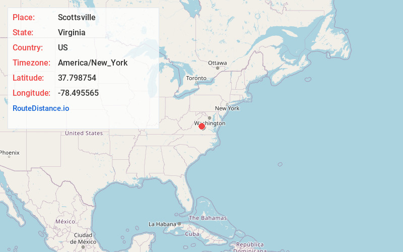
Full AddressScottsville, VA 24590
-
Coordinates37.798754, -78.4955648
-
LocationScottsville , Virginia , US
-
TimezoneAmerica/New_York
-
Current Local Time1:57:11 AM America/New_YorkWednesday, June 18, 2025
-
Page Views0
About Scottsville
Scottsville is a town in Albemarle and Fluvanna counties in the U.S. state of Virginia. The population was 522 at the 2020 census. It is part of the Charlottesville Metropolitan Statistical Area.


Nearby Places
Found 10 places within 50 miles

Lake Monticello
12.3 mi
19.8 km
Lake Monticello, VA 22963
Get directions

Rivanna
15.1 mi
24.3 km
Rivanna, VA 22947
Get directions

Charlottesville
16.0 mi
25.7 km
Charlottesville, VA
Get directions

Pantops
16.2 mi
26.1 km
Pantops, VA
Get directions

University of Virginia
16.2 mi
26.1 km
University of Virginia, Charlottesville, VA
Get directions
Dillwyn
17.8 mi
28.6 km
Dillwyn, VA 23936
Get directions

Ivy
18.6 mi
29.9 km
Ivy, VA
Get directions
Rio
19.6 mi
31.5 km
Rio, VA 22901
Get directions

Nellysford
21.6 mi
34.8 km
Nellysford, VA
Get directions

Crozet
21.8 mi
35.1 km
Crozet, VA
Get directions
Location Links
Local Weather
Weather Information
Coming soon!
Location Map
Static map view of Scottsville, Virginia
Browse Places by Distance
Places within specific distances from Scottsville
Short Distances
Long Distances
Click any distance to see all places within that range from Scottsville. Distances shown in miles (1 mile ≈ 1.61 kilometers).