Distance to Cumberland County, North Carolina

Calculating Your Route
Just a moment while we process your request...
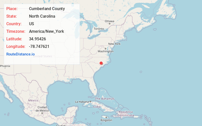
Location Information
-
Full AddressCumberland County, NC
-
Coordinates34.9542604, -78.7476208
-
LocationNorth Carolina , US
-
TimezoneAmerica/New_York
-
Current Local Time1:48:53 PM America/New_YorkWednesday, June 18, 2025
-
Page Views0
About Cumberland County
Cumberland County is a county located in the U.S. state of North Carolina. As of the 2020 census, the population was 334,728, making it the fifth-most populous county in North Carolina. Its county seat is Fayetteville. Cumberland County is part of the Fayetteville, NC Metropolitan Statistical Area.


Nearby Places
Found 10 places within 50 miles

Autryville
6.7 mi
10.8 km
Autryville, NC
Get directions

Fayetteville
10.0 mi
16.1 km
Fayetteville, NC
Get directions
Hope Mills
11.6 mi
18.7 km
Hope Mills, NC
Get directions

Roseboro
13.5 mi
21.7 km
Roseboro, NC 28382
Get directions
Buies Neck
13.7 mi
22.0 km
Buies Neck, NC 28384
Get directions
Salemburg
14.5 mi
23.3 km
Salemburg, NC 28385
Get directions

Parkton
15.4 mi
24.8 km
Parkton, NC 28371
Get directions

Tar Heel
15.5 mi
24.9 km
Tar Heel, NC 28392
Get directions
Mintz
15.9 mi
25.6 km
Mintz, NC 28382
Get directions

St Pauls
16.3 mi
26.2 km
St Pauls, NC 28384
Get directions
Location Links
Local Weather
Weather Information
Coming soon!
Location Map
Static map view of Cumberland County, North Carolina
Browse Places by Distance
Places within specific distances from Cumberland County
Short Distances
Long Distances
Click any distance to see all places within that range from Cumberland County. Distances shown in miles (1 mile ≈ 1.61 kilometers).