Distance to Curry Township, Indiana

Calculating Your Route
Just a moment while we process your request...
Location Information
-
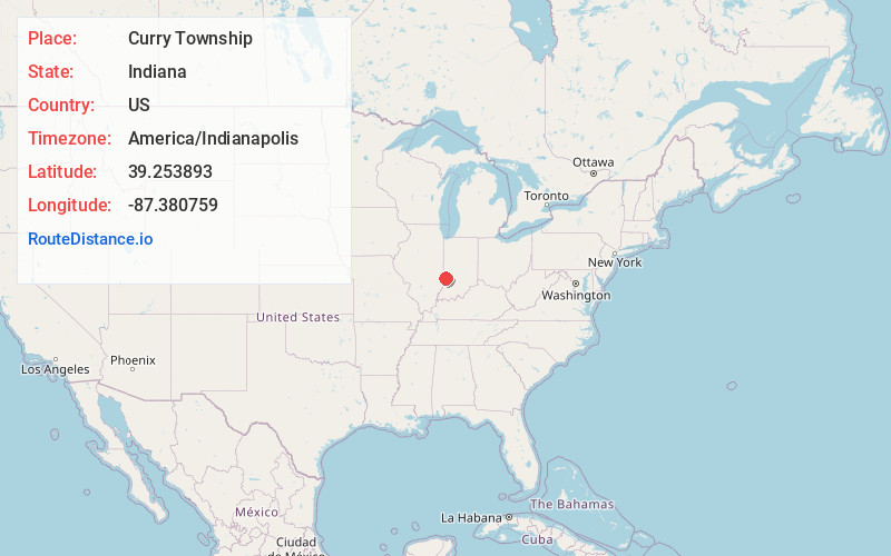
Full AddressCurry Township, IN
-
Coordinates39.2538933, -87.3807593
-
LocationCurry Township , Indiana , US
-
TimezoneAmerica/Indianapolis
-
Page Views0
About Curry Township
Curry Township is one of nine townships in Sullivan County, Indiana, United States. As of the 2020 census, its population was 3,398 and it contained 1,543 housing units.

Nearby Places
Found 10 places within 50 miles

Farmersburg
0.0 mi
0.0 km
Farmersburg, IN 47850
Get directions
Baldridge
2.2 mi
3.5 km
Baldridge, Curry Township, IN 47850
Get directions

Pimento
3.8 mi
6.1 km
Pimento, IN 47866
Get directions
Standard
4.0 mi
6.4 km
Standard, Curry Township, IN 47879
Get directions
Wilfred
4.9 mi
7.9 km
Wilfred, IN 47879
Get directions
Shelburn
5.3 mi
8.5 km
Shelburn, IN 47879
Get directions
Jackson Hill
6.0 mi
9.7 km
Jackson Hill, IN 47879
Get directions
Scott City
6.1 mi
9.8 km
Scott City, IN 47879
Get directions
Hymera
6.3 mi
10.1 km
Hymera, IN
Get directions
Prairie Creek
6.4 mi
10.3 km
Prairie Creek, IN
Get directions
Location Links
Local Weather
Weather Information
Coming soon!
Location Map
Static map view of Curry Township, Indiana
Browse Places by Distance
Places within specific distances from Curry Township
Short Distances
Long Distances
Click any distance to see all places within that range from Curry Township. Distances shown in miles (1 mile ≈ 1.61 kilometers).