Distance to Pimento, Indiana

Calculating Your Route
Just a moment while we process your request...
Location Information
-
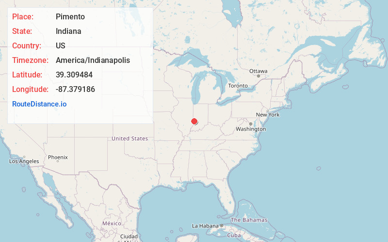
Full AddressPimento, IN 47866
-
Coordinates39.3094837, -87.3791858
-
LocationPimento , Indiana , US
-
TimezoneAmerica/Indianapolis
-
Page Views0
About Pimento
Pimento is an unincorporated community in Linton Township, Vigo County, in the U.S. state of Indiana. It is part of the Terre Haute Metropolitan Statistical Area.
Pimento has one listing on the National Register of Historic Places, the Linton Township High School and Community Building.


Nearby Places
Found 10 places within 50 miles

Youngstown
3.7 mi
6.0 km
Youngstown, IN 47802
Get directions
Farmersburg
3.8 mi
6.1 km
Farmersburg, IN 47850
Get directions
Keller
4.6 mi
7.4 km
Keller, IN 47802
Get directions
Woodgate
5.2 mi
8.4 km
Woodgate, IN 47802
Get directions
Baldridge
6.0 mi
9.7 km
Baldridge, Curry Township, IN 47850
Get directions
Prairieton Township
6.3 mi
10.1 km
Prairieton Township, IN 47802
Get directions
Southwood
6.6 mi
10.6 km
Southwood, IN 47802
Get directions
Prairie Creek
6.7 mi
10.8 km
Prairie Creek, IN
Get directions

Riley
7.0 mi
11.3 km
Riley, IN
Get directions

Lewis
7.3 mi
11.7 km
Lewis, IN 47858
Get directions
Location Links
Local Weather
Weather Information
Coming soon!
Location Map
Static map view of Pimento, Indiana
Browse Places by Distance
Places within specific distances from Pimento
Short Distances
Long Distances
Click any distance to see all places within that range from Pimento. Distances shown in miles (1 mile ≈ 1.61 kilometers).