Distance to Keller, Indiana

Calculating Your Route
Just a moment while we process your request...
Location Information
-
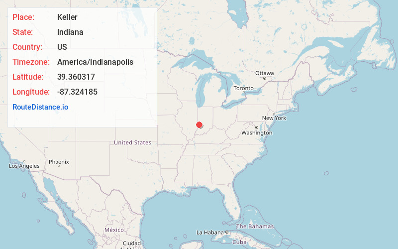
Full AddressKeller, IN 47802
-
Coordinates39.3603169, -87.3241848
-
LocationKeller , Indiana , US
-
TimezoneAmerica/Indianapolis
-
Page Views0
About Keller
Keller is an unincorporated community in Riley Township, Vigo County, in the U.S. state of Indiana. It is part of the Terre Haute metropolitan area. Part of the old general store is still standing, but all other businesses have been torn down. Keller is exclusively a residential community today.
Nearby Places
Found 10 places within 50 miles

Riley
2.4 mi
3.9 km
Riley, IN
Get directions

Woodgate
3.7 mi
6.0 km
Woodgate, IN 47802
Get directions
Cory
6.5 mi
10.5 km
Cory, IN 47846
Get directions

Lewis
7.8 mi
12.6 km
Lewis, IN 47858
Get directions
Farmersburg
8.0 mi
12.9 km
Farmersburg, IN 47850
Get directions
Prairieton Township
8.3 mi
13.4 km
Prairieton Township, IN 47802
Get directions

Terre Haute
8.7 mi
14.0 km
Terre Haute, IN
Get directions

Seelyville
9.6 mi
15.4 km
Seelyville, IN 47803
Get directions
Baldridge
9.8 mi
15.8 km
Baldridge, Curry Township, IN 47850
Get directions
Toad Hop
10.1 mi
16.3 km
Toad Hop, IN 47885
Get directions
Location Links
Local Weather
Weather Information
Coming soon!
Location Map
Static map view of Keller, Indiana
Browse Places by Distance
Places within specific distances from Keller
Short Distances
Long Distances
Click any distance to see all places within that range from Keller. Distances shown in miles (1 mile ≈ 1.61 kilometers).