Distance to Cory, Indiana

Calculating Your Route
Just a moment while we process your request...
Location Information
-
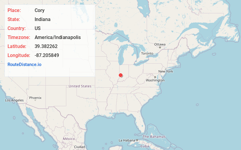
Full AddressCory, IN 47846
-
Coordinates39.3822623, -87.2058491
-
LocationCory , Indiana , US
-
TimezoneAmerica/Indianapolis
-
Page Views0
About Cory
Cory is an unincorporated community in Perry Township, Clay County, Indiana. It is part of the Terre Haute Metropolitan Statistical Area. Cory hosts the annual Cory Apple Festival.
Nearby Places
Found 10 places within 50 miles

Riley
5.1 mi
8.2 km
Riley, IN
Get directions

Center Point
7.3 mi
11.7 km
Center Point, IN 47840
Get directions

Staunton
7.3 mi
11.7 km
Staunton, IN
Get directions

Seelyville
8.3 mi
13.4 km
Seelyville, IN 47803
Get directions

Cloverland
8.3 mi
13.4 km
Cloverland, IN 47834
Get directions

Clay City
8.8 mi
14.2 km
Clay City, IN 47841
Get directions

Lewis
8.9 mi
14.3 km
Lewis, IN 47858
Get directions

Bowling Green
10.4 mi
16.7 km
Bowling Green, IN 47833
Get directions

Brazil
10.7 mi
17.2 km
Brazil, IN 47834
Get directions
Knightsville
11.7 mi
18.8 km
Knightsville, IN
Get directions
Location Links
Local Weather
Weather Information
Coming soon!
Location Map
Static map view of Cory, Indiana
Browse Places by Distance
Places within specific distances from Cory
Short Distances
Long Distances
Click any distance to see all places within that range from Cory. Distances shown in miles (1 mile ≈ 1.61 kilometers).