Distance to Cutting, Georgia

Calculating Your Route
Just a moment while we process your request...
Location Information
-
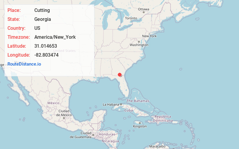
Full AddressCutting, GA 31634
-
Coordinates31.0146534, -82.8034744
-
LocationGeorgia , US
-
TimezoneAmerica/New_York
-
Current Local Time6:27:38 AM America/New_YorkSaturday, June 7, 2025
-
Page Views0
Nearby Places
Found 10 places within 50 miles

Homerville
3.7 mi
6.0 km
Homerville, GA 31634
Get directions

Du Pont
4.4 mi
7.1 km
Du Pont, GA 31630
Get directions

Argyle
10.1 mi
16.3 km
Argyle, GA
Get directions
Sirmans
10.8 mi
17.4 km
Sirmans, GA 31635
Get directions
Cogdell
11.6 mi
18.7 km
Cogdell, GA 31634
Get directions
Stockton
12.7 mi
20.4 km
Stockton, GA 31649
Get directions
Fruitland
13.6 mi
21.9 km
Fruitland, GA 31630
Get directions

Manor
15.0 mi
24.1 km
Manor, GA 31550
Get directions

Lakeland
16.2 mi
26.1 km
Lakeland, GA 31635
Get directions
Naylor
17.9 mi
28.8 km
Naylor, GA 31641
Get directions
Location Links
Local Weather
Weather Information
Coming soon!
Location Map
Static map view of Cutting, Georgia
Browse Places by Distance
Places within specific distances from Cutting
Short Distances
Long Distances
Click any distance to see all places within that range from Cutting. Distances shown in miles (1 mile ≈ 1.61 kilometers).