Distance to Cuyama, California

Calculating Your Route
Just a moment while we process your request...
Location Information
-
Full AddressCuyama, CA 93254
-
Coordinates34.9342872, -119.613846
-
LocationCuyama , California , US
-
TimezoneAmerica/Los_Angeles
-
Current Local Time7:33:33 AM America/Los_AngelesThursday, June 26, 2025
-
Page Views0
About Cuyama
Cuyama is a census-designated place in Santa Barbara County. California. It is located in the Cuyama Valley, near the Carrizo Plain. The Cuyama River runs adjacent to the town, flowing west towards the Pacific Ocean. Cuyama is surrounded by many apricot, peach, and plum orchards.


Nearby Places
Found 10 places within 50 miles

New Cuyama
4.2 mi
6.8 km
New Cuyama, CA 93254
Get directions

Maricopa
14.8 mi
23.8 km
Maricopa, CA 93252
Get directions

Taft Heights
16.0 mi
25.7 km
Taft Heights, CA 93268
Get directions
South Taft
16.5 mi
26.6 km
South Taft, CA 93268
Get directions

Taft
16.9 mi
27.2 km
Taft, CA
Get directions

Fellows
17.4 mi
28.0 km
Fellows, CA 93224
Get directions
Ford City
17.6 mi
28.3 km
Ford City, CA 93268
Get directions

Derby Acres
21.6 mi
34.8 km
Derby Acres, CA 93224
Get directions

Valley Acres
22.1 mi
35.6 km
Valley Acres, CA 93268
Get directions

Dustin Acres
23.4 mi
37.7 km
Dustin Acres, CA 93268
Get directions
Location Links
Local Weather
Weather Information
Coming soon!
Location Map
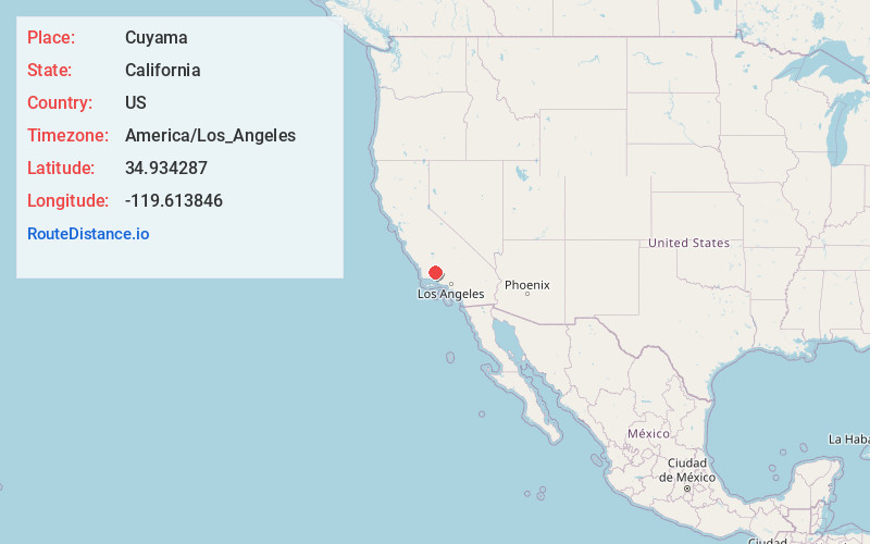
Static map view of Cuyama, California
Browse Places by Distance
Places within specific distances from Cuyama
Short Distances
Long Distances
Click any distance to see all places within that range from Cuyama. Distances shown in miles (1 mile ≈ 1.61 kilometers).