Distance to South Taft, California

Calculating Your Route
Just a moment while we process your request...
Location Information
-
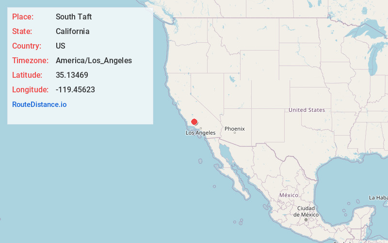
Full AddressSouth Taft, CA 93268
-
Coordinates35.1346895, -119.4562301
-
LocationSouth Taft , California , US
-
TimezoneAmerica/Los_Angeles
-
Current Local Time2:51:46 PM America/Los_AngelesWednesday, July 2, 2025
-
Page Views0
About South Taft
South Taft is a census-designated place in Kern County, California, United States. South Taft is located 0.5 miles south of Taft, at an elevation of 1,017 feet. The population was 2,169 at the 2010 census, up from 1,898 at the time of the 2000 census.
Nearby Places
Found 10 places within 50 miles

Taft
0.5 mi
0.8 km
Taft, CA
Get directions

Ford City
1.4 mi
2.3 km
Ford City, CA 93268
Get directions

Rosedale
24.6 mi
39.6 km
Rosedale, CA
Get directions
Greenacres
26.0 mi
41.8 km
Greenacres, CA 93312
Get directions

Shafter
27.4 mi
44.1 km
Shafter, CA
Get directions

Bakersfield
29.6 mi
47.6 km
Bakersfield, CA
Get directions
Weedpatch
31.5 mi
50.7 km
Weedpatch, CA
Get directions

Oildale
31.5 mi
50.7 km
Oildale, CA 93308
Get directions

Lamont
31.8 mi
51.2 km
Lamont, CA
Get directions

East Bakersfield
32.3 mi
52.0 km
East Bakersfield, CA
Get directions
Location Links
Local Weather
Weather Information
Coming soon!
Location Map
Static map view of South Taft, California
Browse Places by Distance
Places within specific distances from South Taft
Short Distances
Long Distances
Click any distance to see all places within that range from South Taft. Distances shown in miles (1 mile ≈ 1.61 kilometers).