Distance to Shafter, California

Calculating Your Route
Just a moment while we process your request...
Location Information
-
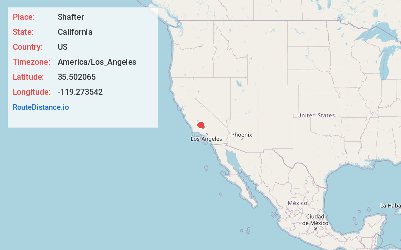
Full AddressShafter, CA
-
Coordinates35.5020654, -119.2735419
-
LocationShafter , California , US
-
TimezoneAmerica/Los_Angeles
-
Current Local Time11:56:16 PM America/Los_AngelesSunday, June 1, 2025
-
Website
-
Page Views0
About Shafter
Shafter is a city in Kern County, California, United States. It is located 18 miles west-northwest of Bakersfield. The population was 16,988 at the 2010 census, up from 12,736 at the 2000 census. The city is located along State Route 43.


Nearby Places
Found 8 places within 50 miles

Wasco
7.4 mi
11.9 km
Wasco, CA 93280
Get directions

Oildale
15.4 mi
24.8 km
Oildale, CA 93308
Get directions

Bakersfield
16.8 mi
27.0 km
Bakersfield, CA
Get directions

Delano
18.5 mi
29.8 km
Delano, CA
Get directions

Arvin
32.4 mi
52.1 km
Arvin, CA 93203
Get directions

Porterville
41.5 mi
66.8 km
Porterville, CA 93257
Get directions

Corcoran
44.2 mi
71.1 km
Corcoran, CA 93212
Get directions

Tulare
48.9 mi
78.7 km
Tulare, CA 93274
Get directions
Location Links
Local Weather
Weather Information
Coming soon!
Location Map
Static map view of Shafter, California
Browse Places by Distance
Places within specific distances from Shafter
Short Distances
Long Distances
Click any distance to see all places within that range from Shafter. Distances shown in miles (1 mile ≈ 1.61 kilometers).