Distance to Cybur, Mississippi

Calculating Your Route
Just a moment while we process your request...
Location Information
-
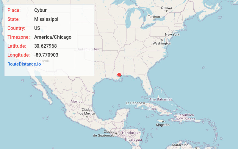
Full AddressCybur, MS 39426
-
Coordinates30.6279677, -89.7709028
-
LocationCybur , Mississippi , US
-
TimezoneAmerica/Chicago
-
Current Local Time5:35:36 PM America/ChicagoSaturday, June 21, 2025
-
Page Views0
Nearby Places
Found 10 places within 50 miles

Sun
7.4 mi
11.9 km
Sun, LA
Get directions

Rio
8.4 mi
13.5 km
Rio, LA 70427
Get directions

Picayune
8.5 mi
13.7 km
Picayune, MS
Get directions
Nicholson
11.4 mi
18.3 km
Nicholson, MS 39466
Get directions
Millard
12.2 mi
19.6 km
Millard, MS 39470
Get directions

Bogalusa
12.2 mi
19.6 km
Bogalusa, LA 70427
Get directions

Pearl River
17.5 mi
28.2 km
Pearl River, LA 70452
Get directions

Varnado
18.7 mi
30.1 km
Varnado, LA 70426
Get directions

Abita Springs
18.9 mi
30.4 km
Abita Springs, LA
Get directions

Poplarville
20.3 mi
32.7 km
Poplarville, MS 39470
Get directions
Location Links
Local Weather
Weather Information
Coming soon!
Location Map
Static map view of Cybur, Mississippi
Browse Places by Distance
Places within specific distances from Cybur
Short Distances
Long Distances
Click any distance to see all places within that range from Cybur. Distances shown in miles (1 mile ≈ 1.61 kilometers).