Distance to Cynthian Township, Ohio

Calculating Your Route
Just a moment while we process your request...
Location Information
-
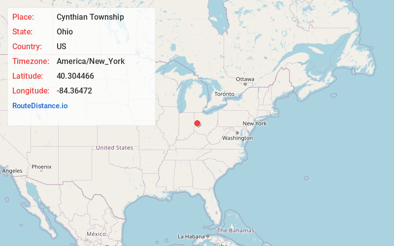
Full AddressCynthian Township, OH
-
Coordinates40.3044657, -84.3647199
-
LocationCynthian Township , Ohio , US
-
TimezoneAmerica/New_York
-
Current Local Time6:35:09 AM America/New_YorkSunday, May 25, 2025
-
Page Views0
About Cynthian Township
Cynthian Township is one of the fourteen townships of Shelby County, Ohio, United States. The 2020 census found 2,000 people in the township.
Nearby Places
Found 10 places within 50 miles

Oran
2.5 mi
4.0 km
Oran, Cynthian Township, OH 45365
Get directions

Fort Loramie
3.3 mi
5.3 km
Fort Loramie, OH 45845
Get directions

Houston
4.2 mi
6.8 km
Houston, OH 45333
Get directions
Mt Jefferson
4.5 mi
7.2 km
Mt Jefferson, Houston, OH 45333
Get directions
Earls Island
4.5 mi
7.2 km
Earls Island, McLean Township, OH 45865
Get directions

Filburns Island
4.6 mi
7.4 km
Filburns Island, McLean Township, OH 45865
Get directions
Hegemanns Landing
4.8 mi
7.7 km
Hegemanns Landing, McLean Township, OH 45865
Get directions
Russia
5.4 mi
8.7 km
Russia, OH 45363
Get directions

Minster
6.2 mi
10.0 km
Minster, OH 45865
Get directions
Hardin
6.6 mi
10.6 km
Hardin, Turtle Creek Township, OH 45365
Get directions
Location Links
Local Weather
Weather Information
Coming soon!
Location Map
Static map view of Cynthian Township, Ohio
Browse Places by Distance
Places within specific distances from Cynthian Township
Short Distances
Long Distances
Click any distance to see all places within that range from Cynthian Township. Distances shown in miles (1 mile ≈ 1.61 kilometers).