Distance to Cypress Fork Crossroads, South Carolina

Calculating Your Route
Just a moment while we process your request...
Location Information
-
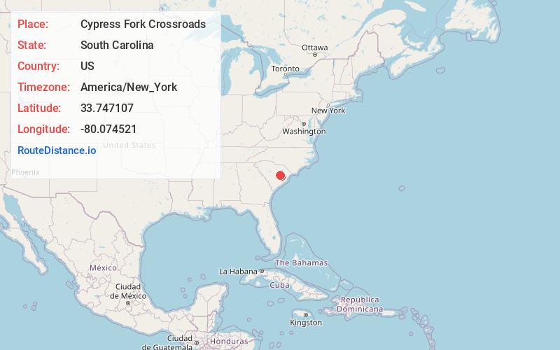
Full AddressCypress Fork Crossroads, SC 29001
-
Coordinates33.7471067, -80.0745206
-
LocationSouth Carolina , US
-
TimezoneAmerica/New_York
-
Current Local Time7:31:18 PM America/New_YorkThursday, May 29, 2025
-
Page Views0
Nearby Places
Found 10 places within 50 miles

Durant
7.3 mi
11.7 km
Durant, SC 29001
Get directions

Alcolu
8.5 mi
13.7 km
Alcolu, SC 29001
Get directions

Manning
8.6 mi
13.8 km
Manning, SC 29102
Get directions

Turbeville
10.4 mi
16.7 km
Turbeville, SC 29162
Get directions

Greeleyville
12.5 mi
20.1 km
Greeleyville, SC 29056
Get directions
Brunsons Store
12.8 mi
20.6 km
Brunsons Store, SC 29153
Get directions
Terrell Crossroad
13.2 mi
21.2 km
Terrell Crossroad, SC 29560
Get directions
Shiloh
13.5 mi
21.7 km
Shiloh, SC
Get directions
Edwards
14.4 mi
23.2 km
Edwards, SC 29590
Get directions

Kingstree
15.1 mi
24.3 km
Kingstree, SC 29556
Get directions
Location Links
Local Weather
Weather Information
Coming soon!
Location Map
Static map view of Cypress Fork Crossroads, South Carolina
Browse Places by Distance
Places within specific distances from Cypress Fork Crossroads
Short Distances
Long Distances
Click any distance to see all places within that range from Cypress Fork Crossroads. Distances shown in miles (1 mile ≈ 1.61 kilometers).