Distance to Manning, South Carolina

Calculating Your Route
Just a moment while we process your request...
Location Information
-
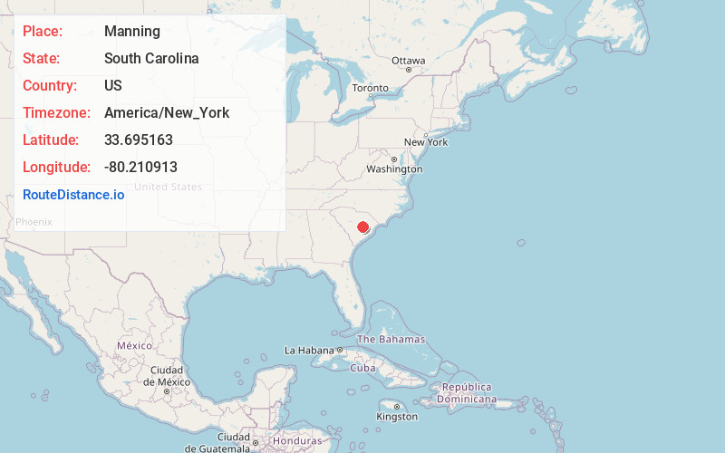
Full AddressManning, SC 29102
-
Coordinates33.6951627, -80.2109134
-
LocationManning , South Carolina , US
-
TimezoneAmerica/New_York
-
Current Local Time7:55:16 PM America/New_YorkSunday, June 22, 2025
-
Website
-
Page Views0
About Manning
Manning is a city in and the county seat of Clarendon County, South Carolina, United States. The population was 3,245 as of the 2010 census, with an estimated population in 2018 of 3,941. It was named after former South Carolina governor John Laurence Manning.


Nearby Places
Found 10 places within 50 miles

Sumter
17.3 mi
27.8 km
Sumter, SC
Get directions

Lake City
28.8 mi
46.3 km
Lake City, SC 29560
Get directions

Moncks Corner
36.3 mi
58.4 km
Moncks Corner, SC 29461
Get directions

Brookdale
37.6 mi
60.5 km
Brookdale, SC 29115
Get directions

Orangeburg
39.7 mi
63.9 km
Orangeburg, SC
Get directions

Florence
43.1 mi
69.4 km
Florence, SC
Get directions

Camden
44.3 mi
71.3 km
Camden, SC 29020
Get directions

Sangaree
45.8 mi
73.7 km
Sangaree, SC
Get directions

Lugoff
45.9 mi
73.9 km
Lugoff, SC
Get directions

Darlington
46.0 mi
74.0 km
Darlington, SC 29532
Get directions
Location Links
Local Weather
Weather Information
Coming soon!
Location Map
Static map view of Manning, South Carolina
Browse Places by Distance
Places within specific distances from Manning
Short Distances
Long Distances
Click any distance to see all places within that range from Manning. Distances shown in miles (1 mile ≈ 1.61 kilometers).