Distance to and from Cypress, Texas
Cypress, Houston, TX
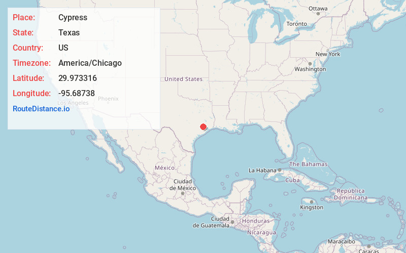
Houston
Texas
US
America/Chicago
Location Information
-
Full AddressCypress, Houston, TX
-
Coordinates29.9733158, -95.6873804
-
NeighborhoodCypress
-
LocationHouston , Texas , US
-
TimezoneAmerica/Chicago
-
Current Local Time1:16:13 PM America/ChicagoMonday, May 12, 2025
-
Page Views0
Directions to Nearest Cities
About Cypress
Cypress is an unincorporated community in Harris County, Texas, United States, located completely inside the extraterritorial jurisdiction of the City of Houston. The Cypress area is located along U.S. Route 290 is twenty-four miles northwest of Downtown Houston.


Nearby Places
Found 10 places within 50 miles

Kohrville
6.7 mi
10.8 km
Kohrville, TX 77070
Get directions
Rose Hill
6.8 mi
10.9 km
Rose Hill, TX 77377
Get directions
Louetta
7.9 mi
12.7 km
Louetta, TX 77379
Get directions
Deco
8.9 mi
14.3 km
Deco, Houston, TX 77069
Get directions
Melendy
9.5 mi
15.3 km
Melendy, Houston, TX 77041
Get directions

Jersey Village
9.5 mi
15.3 km
Jersey Village, TX
Get directions

Tomball
9.6 mi
15.4 km
Tomball, TX
Get directions

Klein
10.6 mi
17.1 km
Klein, TX 77379
Get directions

Hufsmith
11.6 mi
18.7 km
Hufsmith, TX 77375
Get directions
Stagecoach
12.0 mi
19.3 km
Stagecoach, TX 77355
Get directions
Kohrville
6.7 mi
10.8 km
Kohrville, TX 77070
Rose Hill
6.8 mi
10.9 km
Rose Hill, TX 77377
Louetta
7.9 mi
12.7 km
Louetta, TX 77379
Deco
8.9 mi
14.3 km
Deco, Houston, TX 77069
Melendy
9.5 mi
15.3 km
Melendy, Houston, TX 77041
Jersey Village
9.5 mi
15.3 km
Jersey Village, TX
Tomball
9.6 mi
15.4 km
Tomball, TX
Klein
10.6 mi
17.1 km
Klein, TX 77379
Hufsmith
11.6 mi
18.7 km
Hufsmith, TX 77375
Stagecoach
12.0 mi
19.3 km
Stagecoach, TX 77355
Location Links
Local Weather
Weather Information
Coming soon!
Location Map
Static map view of Cypress, Texas
Browse Places by Distance
Places within specific distances from Cypress
Short Distances
Long Distances
Click any distance to see all places within that range from Cypress. Distances shown in miles (1 mile ≈ 1.61 kilometers).