Distance to Melendy, Texas

Calculating Your Route
Just a moment while we process your request...
Location Information
-
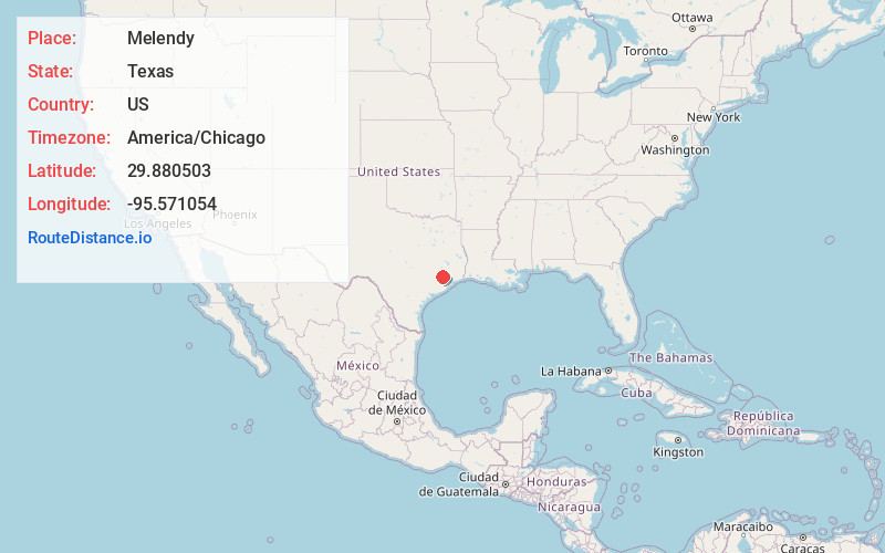
Full AddressMelendy, Houston, TX 77041
-
Coordinates29.880503, -95.5710542
-
LocationHouston , Texas , US
-
TimezoneAmerica/Chicago
-
Current Local Time5:06:45 AM America/ChicagoSunday, June 1, 2025
-
Page Views0
Nearby Places
Found 10 places within 50 miles

Jersey Village
0.7 mi
1.1 km
Jersey Village, TX
Get directions

Aldine
10.3 mi
16.6 km
Aldine, TX
Get directions

Bellaire
13.7 mi
22.0 km
Bellaire, TX 77401
Get directions

Mission Bend
14.1 mi
22.7 km
Mission Bend, TX
Get directions

Southside Place
14.5 mi
23.3 km
Southside Place, TX
Get directions

Houston
14.6 mi
23.5 km
Houston, TX
Get directions

Cinco Ranch
14.9 mi
24.0 km
Cinco Ranch, TX
Get directions

Four Corners
15.1 mi
24.3 km
Four Corners, TX
Get directions

Tomball
15.2 mi
24.5 km
Tomball, TX
Get directions
Meadows Place
15.9 mi
25.6 km
Meadows Place, TX 77477
Get directions
Location Links
Local Weather
Weather Information
Coming soon!
Location Map
Static map view of Melendy, Texas
Browse Places by Distance
Places within specific distances from Melendy
Short Distances
Long Distances
Click any distance to see all places within that range from Melendy. Distances shown in miles (1 mile ≈ 1.61 kilometers).