Distance to Aldine, Texas

Calculating Your Route
Just a moment while we process your request...
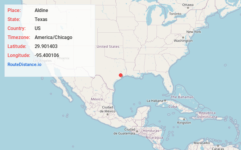
Location Information
-
Full AddressAldine, TX
-
Coordinates29.9014029, -95.4001057
-
LocationAldine , Texas , US
-
TimezoneAmerica/Chicago
-
Current Local Time9:05:53 AM America/ChicagoFriday, June 20, 2025
-
Page Views0
About Aldine
Aldine is a census-designated place in unincorporated central Harris County, Texas, United States, located within the extraterritorial jurisdiction of Houston. The population was 15,999 at the 2020 census. The community is located on the Hardy Toll Road, Union Pacific Railroad, and Farm to Market Road 525.


Nearby Places
Found 10 places within 50 miles

Houston
9.9 mi
15.9 km
Houston, TX
Get directions

Humble
10.7 mi
17.2 km
Humble, TX
Get directions

Spring
12.4 mi
20.0 km
Spring, TX 77373
Get directions

Bellaire
14.3 mi
23.0 km
Bellaire, TX 77401
Get directions

Atascocita
15.0 mi
24.1 km
Atascocita, TX
Get directions

Pasadena
18.4 mi
29.6 km
Pasadena, TX
Get directions

The Woodlands
18.6 mi
29.9 km
The Woodlands, TX
Get directions

Channelview
19.2 mi
30.9 km
Channelview, TX
Get directions

South Houston
19.2 mi
30.9 km
South Houston, TX
Get directions

Mission Bend
21.4 mi
34.4 km
Mission Bend, TX
Get directions
Location Links
Local Weather
Weather Information
Coming soon!
Location Map
Static map view of Aldine, Texas
Browse Places by Distance
Places within specific distances from Aldine
Short Distances
Long Distances
Click any distance to see all places within that range from Aldine. Distances shown in miles (1 mile ≈ 1.61 kilometers).