Distance to Mission Bend, Texas

Calculating Your Route
Just a moment while we process your request...
Location Information
-
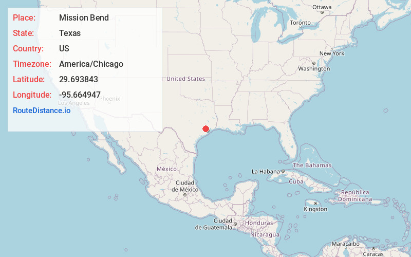
Full AddressMission Bend, TX
-
Coordinates29.6938429, -95.6649468
-
LocationMission Bend , Texas , US
-
TimezoneAmerica/Chicago
-
Current Local Time7:07:59 AM America/ChicagoThursday, July 3, 2025
-
Page Views0
About Mission Bend
Mission Bend is a census-designated place around Texas State Highway 6 within the extraterritorial jurisdiction of Houston in Fort Bend and Harris counties in the U.S. state of Texas; Mission Bend is 4 miles northwest of the city hall of Sugar Land and 20 miles southwest of Downtown Houston.


Nearby Places
Found 10 places within 50 miles

Sugar Land
7.1 mi
11.4 km
Sugar Land, TX
Get directions

Missouri City
10.4 mi
16.7 km
Missouri City, TX
Get directions

Houston
18.3 mi
29.5 km
Houston, TX
Get directions

Pearland
24.5 mi
39.4 km
Pearland, TX
Get directions

Pasadena
27.9 mi
44.9 km
Pasadena, TX
Get directions

Friendswood
30.1 mi
48.4 km
Friendswood, TX
Get directions

Spring
30.5 mi
49.1 km
Spring, TX 77373
Get directions

Channelview
33.5 mi
53.9 km
Channelview, TX
Get directions

The Woodlands
34.8 mi
56.0 km
The Woodlands, TX
Get directions

Atascocita
36.1 mi
58.1 km
Atascocita, TX
Get directions
Location Links
Local Weather
Weather Information
Coming soon!
Location Map
Static map view of Mission Bend, Texas
Browse Places by Distance
Places within specific distances from Mission Bend
Short Distances
Long Distances
Click any distance to see all places within that range from Mission Bend. Distances shown in miles (1 mile ≈ 1.61 kilometers).