Distance to Dabneys, Virginia

Calculating Your Route
Just a moment while we process your request...
Location Information
-
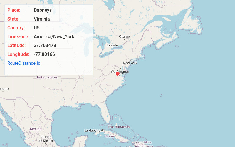
Full AddressDabneys, VA 23102
-
Coordinates37.7634779, -77.8016602
-
LocationDabneys , Virginia , US
-
TimezoneAmerica/New_York
-
Current Local Time9:44:44 PM America/New_YorkWednesday, June 25, 2025
-
Page Views0
About Dabneys
Dabneys is an unincorporated community in Louisa County, Virginia, United States. Dabneys is 11 miles west-northwest of Wyndham.
Nearby Places
Found 10 places within 50 miles

Perkinsville
1.8 mi
2.9 km
Perkinsville, VA 23102
Get directions
Oilville
4.2 mi
6.8 km
Oilville, VA
Get directions
Shelfar
4.9 mi
7.9 km
Shelfar, VA 23117
Get directions
Gouldin
5.5 mi
8.9 km
Gouldin, VA 23192
Get directions
Mabelton
6.3 mi
10.1 km
Mabelton, VA 23192
Get directions
Johnsons Springs
6.7 mi
10.8 km
Johnsons Springs, VA 23146
Get directions

Goochland
7.1 mi
11.4 km
Goochland, VA 23063
Get directions

Montpelier
7.5 mi
12.1 km
Montpelier, VA 23192
Get directions
Jackson
7.6 mi
12.2 km
Jackson, VA 23024
Get directions
Cedar Point
7.7 mi
12.4 km
Cedar Point, Goochland, VA 23063
Get directions
Location Links
Local Weather
Weather Information
Coming soon!
Location Map
Static map view of Dabneys, Virginia
Browse Places by Distance
Places within specific distances from Dabneys
Short Distances
Long Distances
Click any distance to see all places within that range from Dabneys. Distances shown in miles (1 mile ≈ 1.61 kilometers).