Distance to Montpelier, Virginia

Calculating Your Route
Just a moment while we process your request...
Location Information
-
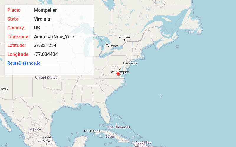
Full AddressMontpelier, VA 23192
-
Coordinates37.8212538, -77.6844344
-
LocationMontpelier , Virginia , US
-
TimezoneAmerica/New_York
-
Current Local Time4:40:02 AM America/New_YorkSaturday, May 31, 2025
-
Page Views0
About Montpelier
Montpelier is an unincorporated community in Hanover County in the central region of the U.S. state of Virginia. Montpelier is on U.S. Route 33, which was long named as "the Mountain Road" between Richmond and the Blue Ridge Mountains.


Nearby Places
Found 10 places within 50 miles

Wyndham
9.3 mi
15.0 km
Wyndham, VA 23059
Get directions

Short Pump
11.2 mi
18.0 km
Short Pump, VA
Get directions

Ashland
12.0 mi
19.3 km
Ashland, VA 23005
Get directions

Innsbrook
12.4 mi
20.0 km
Innsbrook, VA
Get directions

Glen Allen
14.5 mi
23.3 km
Glen Allen, VA
Get directions

Goochland
14.5 mi
23.3 km
Goochland, VA 23063
Get directions

Lake Caroline
14.7 mi
23.7 km
Lake Caroline, VA 22546
Get directions
Thorncliff
14.8 mi
23.8 km
Thorncliff, VA 23102
Get directions
Laurel
15.6 mi
25.1 km
Laurel, VA
Get directions
Dumbarton
17.2 mi
27.7 km
Dumbarton, VA
Get directions
Location Links
Local Weather
Weather Information
Coming soon!
Location Map
Static map view of Montpelier, Virginia
Browse Places by Distance
Places within specific distances from Montpelier
Short Distances
Long Distances
Click any distance to see all places within that range from Montpelier. Distances shown in miles (1 mile ≈ 1.61 kilometers).