Distance to Dagger, Arizona

Calculating Your Route
Just a moment while we process your request...
Location Information
-
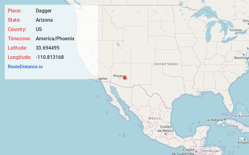
Full AddressDagger, AZ 85501
-
Coordinates33.6944948, -110.8131677
-
LocationArizona , US
-
TimezoneAmerica/Phoenix
-
Current Local Time8:20:32 PM America/PhoenixThursday, June 19, 2025
-
Page Views0
Nearby Places
Found 10 places within 50 miles

Copper Hill
18.5 mi
29.8 km
Copper Hill, AZ 85501
Get directions

Roosevelt
18.6 mi
29.9 km
Roosevelt, AZ 85545
Get directions
Rock House Tank
18.9 mi
30.4 km
Rock House Tank, Arizona
Get directions
Central Heights-Midland City
19.5 mi
31.4 km
Central Heights-Midland City, AZ
Get directions

Claypool
19.7 mi
31.7 km
Claypool, AZ
Get directions

Miami
20.7 mi
33.3 km
Miami, AZ 85539
Get directions

Globe
20.8 mi
33.5 km
Globe, AZ
Get directions

Cibecue Creek
22.2 mi
35.7 km
Cibecue Creek, Arizona
Get directions
East Globe
24.4 mi
39.3 km
East Globe, AZ
Get directions
Cutter
24.8 mi
39.9 km
Cutter, AZ 85550
Get directions
Location Links
Local Weather
Weather Information
Coming soon!
Location Map
Static map view of Dagger, Arizona
Browse Places by Distance
Places within specific distances from Dagger
Short Distances
Long Distances
Click any distance to see all places within that range from Dagger. Distances shown in miles (1 mile ≈ 1.61 kilometers).