Distance to Claypool, Arizona

Calculating Your Route
Just a moment while we process your request...
Location Information
-
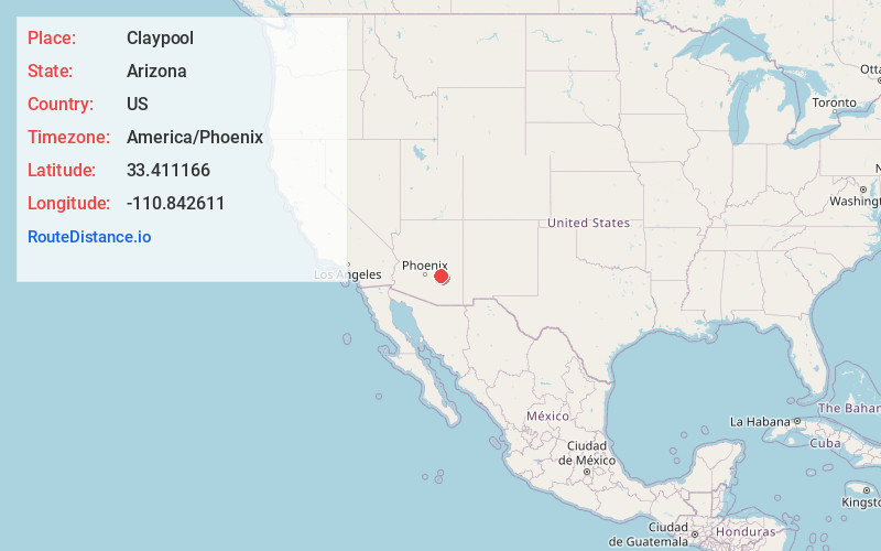
Full AddressClaypool, AZ
-
Coordinates33.4111659, -110.8426113
-
LocationClaypool , Arizona , US
-
TimezoneAmerica/Phoenix
-
Current Local Time8:20:33 PM America/PhoenixThursday, June 19, 2025
-
Page Views0
About Claypool
Claypool is a census-designated place in Gila County, Arizona, United States. The population was 1,538 at the 2010 census, down from 1,794 at the 2000 census. It was named after W. D. Claypool, a member of both the State House of Representatives and State Senate in the 1910s and 1920s.


Nearby Places
Found 10 places within 50 miles

Miami
1.7 mi
2.7 km
Miami, AZ 85539
Get directions

Globe
3.4 mi
5.5 km
Globe, AZ
Get directions

Superior
16.7 mi
26.9 km
Superior, AZ
Get directions

San Carlos
22.8 mi
36.7 km
San Carlos, AZ 85550
Get directions

Peridot
23.6 mi
38.0 km
Peridot, AZ
Get directions

Kearny
24.5 mi
39.4 km
Kearny, AZ 85137
Get directions

Gold Canyon
35.2 mi
56.6 km
Gold Canyon, AZ
Get directions

Tonto Basin
40.6 mi
65.3 km
Tonto Basin, AZ 85553
Get directions

Apache Junction
40.8 mi
65.7 km
Apache Junction, AZ
Get directions

Florence
41.0 mi
66.0 km
Florence, AZ
Get directions
Location Links
Local Weather
Weather Information
Coming soon!
Location Map
Static map view of Claypool, Arizona
Browse Places by Distance
Places within specific distances from Claypool
Short Distances
Long Distances
Click any distance to see all places within that range from Claypool. Distances shown in miles (1 mile ≈ 1.61 kilometers).