Distance to Superior, Arizona

Calculating Your Route
Just a moment while we process your request...
Location Information
-
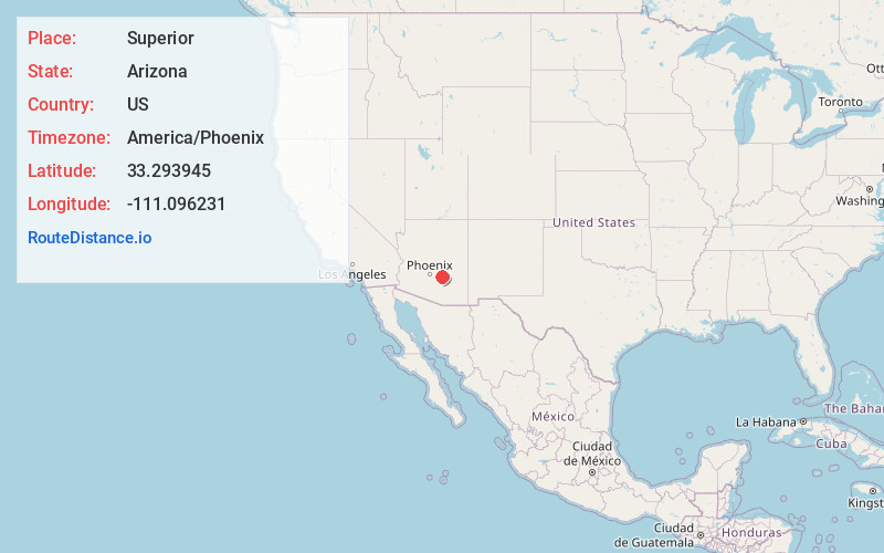
Full AddressSuperior, AZ
-
Coordinates33.293945, -111.0962305
-
LocationSuperior , Arizona , US
-
TimezoneAmerica/Phoenix
-
Current Local Time1:43:19 AM America/PhoenixMonday, June 2, 2025
-
Website
-
Page Views0
About Superior
Superior is a town in northern Pinal County, Arizona, United States, and is the oldest town in the county. According to the 2020 census, the population of the town was 2,407. Superior was founded as a mining town for the Silver King and the later Magma mines; silver was mined at first, and then transitioned to copper.


Nearby Places
Found 10 places within 50 miles

Globe
19.2 mi
30.9 km
Globe, AZ
Get directions

Gold Canyon
20.9 mi
33.6 km
Gold Canyon, AZ
Get directions

Florence
24.7 mi
39.8 km
Florence, AZ
Get directions

San Tan Valley
27.3 mi
43.9 km
San Tan Valley, AZ
Get directions

Apache Junction
27.5 mi
44.3 km
Apache Junction, AZ
Get directions

Queen Creek
31.4 mi
50.5 km
Queen Creek, AZ
Get directions

Coolidge
32.7 mi
52.6 km
Coolidge, AZ
Get directions

San Carlos
37.4 mi
60.2 km
San Carlos, AZ 85550
Get directions

Sacaton
40.1 mi
64.5 km
Sacaton, AZ
Get directions

Gilbert
40.2 mi
64.7 km
Gilbert, AZ
Get directions
Location Links
Local Weather
Weather Information
Coming soon!
Location Map
Static map view of Superior, Arizona
Browse Places by Distance
Places within specific distances from Superior
Short Distances
Long Distances
Click any distance to see all places within that range from Superior. Distances shown in miles (1 mile ≈ 1.61 kilometers).