Distance to Daggett, Michigan

Calculating Your Route
Just a moment while we process your request...
Location Information
-
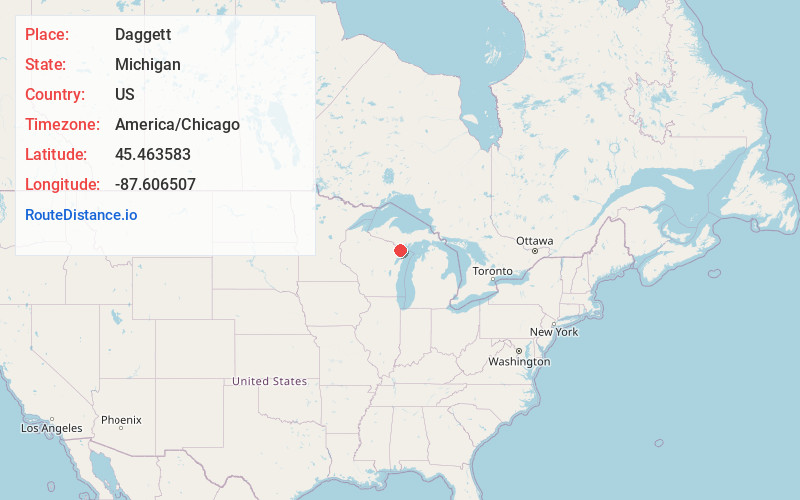
Full AddressDaggett, MI 49821
-
Coordinates45.4635827, -87.6065069
-
LocationDaggett , Michigan , US
-
TimezoneAmerica/Chicago
-
Current Local Time4:35:02 PM America/ChicagoThursday, June 5, 2025
-
Page Views0
About Daggett
Daggett is a village in Menominee County of the U.S. state of Michigan. The population was 201 at the 2020 census, down from 258 in 2010. The village is located within Daggett Township and is part of the Marinette, WI–MI Micropolitan Statistical Area.


Nearby Places
Found 10 places within 50 miles

Stephenson
3.3 mi
5.3 km
Stephenson, MI 49887
Get directions

Carney
8.8 mi
14.2 km
Carney, MI 49812
Get directions

Powers
16.1 mi
25.9 km
Powers, MI 49874
Get directions
Hermansville
17.1 mi
27.5 km
Hermansville, MI 49847
Get directions

Wausaukee
18.0 mi
29.0 km
Wausaukee, WI
Get directions

Pembine
22.1 mi
35.6 km
Pembine, WI
Get directions

Menominee
24.6 mi
39.6 km
Menominee, MI 49858
Get directions

Marinette
25.2 mi
40.6 km
Marinette, WI 54143
Get directions

Crivitz
25.2 mi
40.6 km
Crivitz, WI 54114
Get directions

Norway
26.6 mi
42.8 km
Norway, MI 49870
Get directions
Location Links
Local Weather
Weather Information
Coming soon!
Location Map
Static map view of Daggett, Michigan
Browse Places by Distance
Places within specific distances from Daggett
Short Distances
Long Distances
Click any distance to see all places within that range from Daggett. Distances shown in miles (1 mile ≈ 1.61 kilometers).