Distance to Dagmar, Montana

Calculating Your Route
Just a moment while we process your request...
Location Information
-
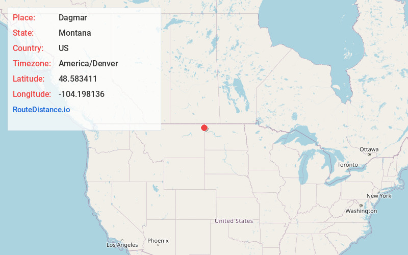
Full AddressDagmar, MT 59247
-
Coordinates48.5834112, -104.1981361
-
LocationDagmar , Montana , US
-
TimezoneAmerica/Denver
-
Current Local Time8:12:55 AM America/DenverMonday, May 19, 2025
-
Page Views0
About Dagmar
Dagmar is an unincorporated community in northeastern Sheridan County, Montana, United States. The town was established in 1906 by Danish immigrants to the area.
Dagmar currently has a general store and a post office, which has operated since 1907. Dagmar's school closed in 1996.

Nearby Places
Found 10 places within 50 miles

Coalridge
8.0 mi
12.9 km
Coalridge, MT 59219
Get directions
Reserve
12.1 mi
19.5 km
Reserve, MT 59258
Get directions
Grenora
12.2 mi
19.6 km
Grenora, ND
Get directions
Antelope
14.0 mi
22.5 km
Antelope, MT 59211
Get directions

Medicine Lake
15.1 mi
24.3 km
Medicine Lake, MT 59247
Get directions

Hanks
18.1 mi
29.1 km
Hanks, ND 58856
Get directions
Homestead
19.2 mi
30.9 km
Homestead, MT 59242
Get directions
Bonetraill
20.1 mi
32.3 km
Bonetraill, ND 58801
Get directions

McElroy
20.8 mi
33.5 km
McElroy, MT 59275
Get directions
Westby
20.9 mi
33.6 km
Westby, MT 59275
Get directions
Location Links
Local Weather
Weather Information
Coming soon!
Location Map
Static map view of Dagmar, Montana
Browse Places by Distance
Places within specific distances from Dagmar
Short Distances
Long Distances
Click any distance to see all places within that range from Dagmar. Distances shown in miles (1 mile ≈ 1.61 kilometers).