Distance to Homestead, Montana

Calculating Your Route
Just a moment while we process your request...
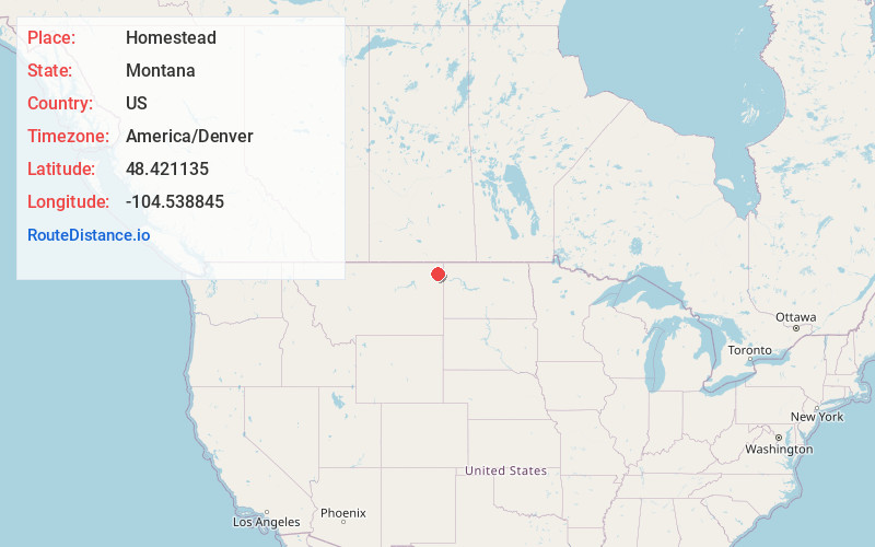
Location Information
-
Full AddressHomestead, MT 59242
-
Coordinates48.4211347, -104.5388451
-
LocationHomestead , Montana , US
-
TimezoneAmerica/Denver
-
Current Local Time1:45:05 AM America/DenverSaturday, June 14, 2025
-
Page Views0
About Homestead
Homestead is an unincorporated community in Sheridan County, Montana, United States. Homestead is located along a railroad, 5.8 miles south-southwest of Medicine Lake. The community had a post office until November 19, 1994; it still has its own ZIP code, 59242.
Nearby Places
Found 10 places within 50 miles

Medicine Lake
5.8 mi
9.3 km
Medicine Lake, MT 59247
Get directions

Froid
6.3 mi
10.1 km
Froid, MT
Get directions

Reserve
13.3 mi
21.4 km
Reserve, MT 59258
Get directions

Culbertson
19.1 mi
30.7 km
Culbertson, MT 59218
Get directions

Bainville
24.2 mi
38.9 km
Bainville, MT 59212
Get directions

Plentywood
24.4 mi
39.3 km
Plentywood, MT 59254
Get directions

Brockton
25.5 mi
41.0 km
Brockton, MT 59213
Get directions
Grenora
30.8 mi
49.6 km
Grenora, ND
Get directions

Redstone
33.3 mi
53.6 km
Redstone, MT
Get directions

Outlook
34.1 mi
54.9 km
Outlook, MT 59252
Get directions
Location Links
Local Weather
Weather Information
Coming soon!
Location Map
Static map view of Homestead, Montana
Browse Places by Distance
Places within specific distances from Homestead
Short Distances
Long Distances
Click any distance to see all places within that range from Homestead. Distances shown in miles (1 mile ≈ 1.61 kilometers).