Distance to Dahl, Kentucky

Calculating Your Route
Just a moment while we process your request...
Location Information
-
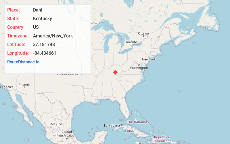
Full AddressDahl, KY 42503
-
Coordinates37.1817481, -84.4346614
-
LocationKentucky , US
-
TimezoneAmerica/New_York
-
Current Local Time12:40:26 PM America/New_YorkWednesday, May 21, 2025
-
Page Views0
Nearby Places
Found 10 places within 50 miles

Etna
8.6 mi
13.8 km
Etna, KY 42567
Get directions
Sand Springs
9.0 mi
14.5 km
Sand Springs, KY 40456
Get directions

Science Hill
11.1 mi
17.9 km
Science Hill, KY
Get directions

Somerset
11.2 mi
18.0 km
Somerset, KY
Get directions

Ferguson
12.1 mi
19.5 km
Ferguson, KY
Get directions
Goochtown
12.8 mi
20.6 km
Goochtown, KY 42567
Get directions

Mt Vernon
12.9 mi
20.8 km
Mt Vernon, KY 40456
Get directions

Eubank
14.0 mi
22.5 km
Eubank, KY 42567
Get directions

Livingston
14.5 mi
23.3 km
Livingston, KY 40445
Get directions

Brodhead
15.4 mi
24.8 km
Brodhead, KY
Get directions
Location Links
Local Weather
Weather Information
Coming soon!
Location Map
Static map view of Dahl, Kentucky
Browse Places by Distance
Places within specific distances from Dahl
Short Distances
Long Distances
Click any distance to see all places within that range from Dahl. Distances shown in miles (1 mile ≈ 1.61 kilometers).