Distance to Dalbys, Virginia

Calculating Your Route
Just a moment while we process your request...
Location Information
-
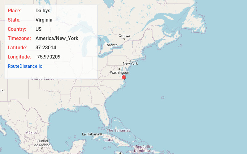
Full AddressDalbys, VA 23310
-
Coordinates37.2301395, -75.9702092
-
LocationVirginia , US
-
TimezoneAmerica/New_York
-
Current Local Time4:53:40 AM America/New_YorkSaturday, June 7, 2025
-
Page Views0
About Dalbys
Dalbys is an unincorporated community in Northampton County, Virginia, United States.
Nearby Places
Found 10 places within 50 miles

Northampton County
1.3 mi
2.1 km
Northampton County, VA
Get directions

Capeville
2.0 mi
3.2 km
Capeville, VA 23310
Get directions

Seaview
2.6 mi
4.2 km
Seaview, VA 23310
Get directions

Townsend
3.2 mi
5.1 km
Townsend, VA 23310
Get directions
Bayview
3.2 mi
5.1 km
Bayview, VA 23310
Get directions
Culls
3.4 mi
5.5 km
Culls, VA 23310
Get directions
Magotha
3.6 mi
5.8 km
Magotha, VA 23310
Get directions

Cape Charles
3.7 mi
6.0 km
Cape Charles, VA 23310
Get directions
Cheriton
4.1 mi
6.6 km
Cheriton, VA 23310
Get directions

Oyster
4.7 mi
7.6 km
Oyster, VA 23310
Get directions
Location Links
Local Weather
Weather Information
Coming soon!
Location Map
Static map view of Dalbys, Virginia
Browse Places by Distance
Places within specific distances from Dalbys
Short Distances
Long Distances
Click any distance to see all places within that range from Dalbys. Distances shown in miles (1 mile ≈ 1.61 kilometers).