Distance to Daleville, Virginia

Calculating Your Route
Just a moment while we process your request...
Location Information
-
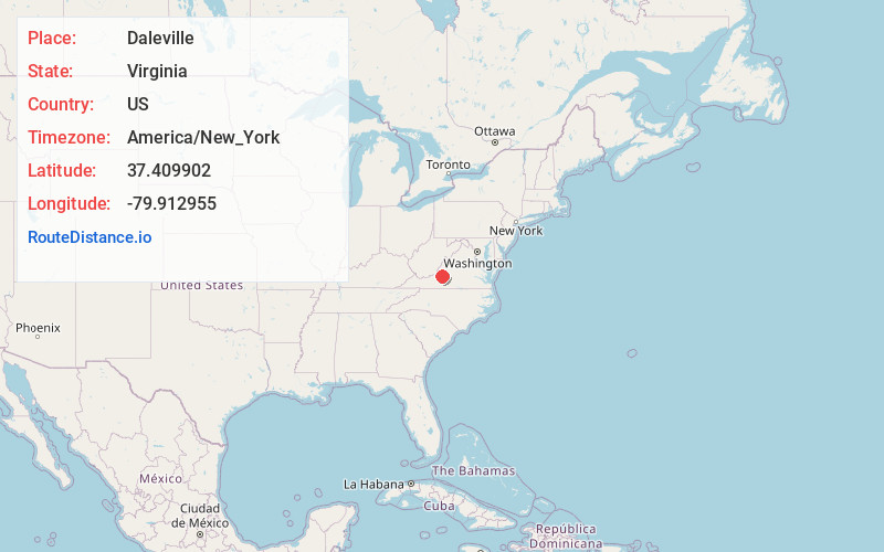
Full AddressDaleville, VA
-
Coordinates37.4099016, -79.9129552
-
LocationDaleville , Virginia , US
-
TimezoneAmerica/New_York
-
Current Local Time9:16:56 PM America/New_YorkSunday, June 22, 2025
-
Page Views0
About Daleville
Daleville is a census-designated place in southern Botetourt County, Virginia, United States. The population was 3,070 at the 2020 census. The CDP is located along U.S. Route 220. It is part of the Roanoke metropolitan area.


Nearby Places
Found 10 places within 50 miles

Cloverdale
3.3 mi
5.3 km
Cloverdale, VA
Get directions

Hollins
5.0 mi
8.0 km
Hollins, VA
Get directions

Vinton
9.0 mi
14.5 km
Vinton, VA
Get directions

Roanoke
9.8 mi
15.8 km
Roanoke, VA
Get directions

Salem
11.2 mi
18.0 km
Salem, VA 24153
Get directions

Cave Spring
13.7 mi
22.0 km
Cave Spring, VA 24018
Get directions

Bedford
22.0 mi
35.4 km
Bedford, VA 24523
Get directions

North Shore
26.6 mi
42.8 km
North Shore, VA
Get directions

Covington
26.9 mi
43.3 km
Covington, VA 24426
Get directions

Clifton Forge
28.5 mi
45.9 km
Clifton Forge, VA 24422
Get directions
Location Links
Local Weather
Weather Information
Coming soon!
Location Map
Static map view of Daleville, Virginia
Browse Places by Distance
Places within specific distances from Daleville
Short Distances
Long Distances
Click any distance to see all places within that range from Daleville. Distances shown in miles (1 mile ≈ 1.61 kilometers).