Distance to Dana, Iowa

Calculating Your Route
Just a moment while we process your request...
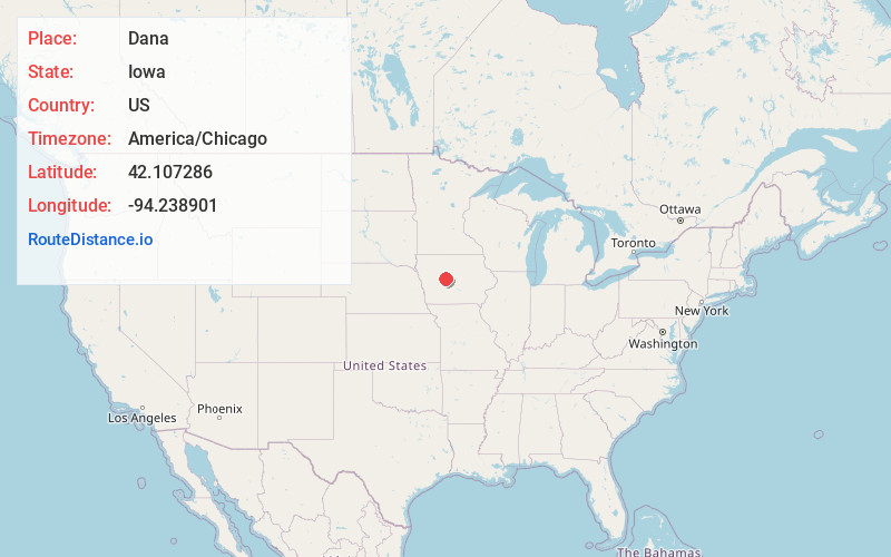
Location Information
-
Full AddressDana, IA 50064
-
Coordinates42.1072857, -94.2389006
-
LocationDana , Iowa , US
-
TimezoneAmerica/Chicago
-
Current Local Time5:53:14 AM America/ChicagoFriday, June 6, 2025
-
Page Views0
About Dana
Dana is a city in Greene County, Iowa, United States. The population was 38 at the time of the 2020 census.
Nearby Places
Found 10 places within 50 miles

Paton
4.1 mi
6.6 km
Paton, IA 50217
Get directions

Grand Junction
5.2 mi
8.4 km
Grand Junction, IA 50107
Get directions

Beaver
6.9 mi
11.1 km
Beaver, IA 50031
Get directions

Boxholm
8.3 mi
13.4 km
Boxholm, IA 50040
Get directions

Jefferson
9.4 mi
15.1 km
Jefferson, IA 50129
Get directions

Harcourt
11.2 mi
18.0 km
Harcourt, IA 50544
Get directions

Ogden
11.6 mi
18.7 km
Ogden, IA 50212
Get directions

Pilot Mound
12.1 mi
19.5 km
Pilot Mound, IA 50223
Get directions
Rippey
12.1 mi
19.5 km
Rippey, IA 50235
Get directions
Gowrie
12.3 mi
19.8 km
Gowrie, IA 50543
Get directions
Location Links
Local Weather
Weather Information
Coming soon!
Location Map
Static map view of Dana, Iowa
Browse Places by Distance
Places within specific distances from Dana
Short Distances
Long Distances
Click any distance to see all places within that range from Dana. Distances shown in miles (1 mile ≈ 1.61 kilometers).