Distance to Dana, Illinois

Calculating Your Route
Just a moment while we process your request...
Location Information
-
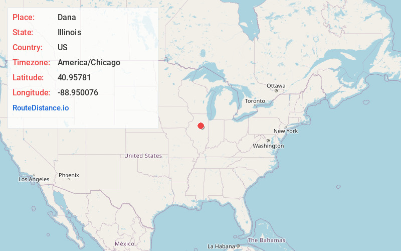
Full AddressDana, IL 61321
-
Coordinates40.9578103, -88.9500761
-
LocationDana , Illinois , US
-
TimezoneAmerica/Chicago
-
Current Local Time12:15:35 AM America/ChicagoFriday, June 13, 2025
-
Page Views0
About Dana
Dana is a village in LaSalle County, Illinois, United States. As of the 2010 census, the village had a total population of 159, down from 171 in 2000. It is part of the Ottawa Micropolitan Statistical Area, as well as a part of the geographic region known as Streatorland.
Nearby Places
Found 10 places within 50 miles

Long Point
4.4 mi
7.1 km
Long Point, IL 61333
Get directions

Rutland
5.1 mi
8.2 km
Rutland, IL 61358
Get directions

Minonk
5.7 mi
9.2 km
Minonk, IL 61760
Get directions

Flanagan
7.2 mi
11.6 km
Flanagan, IL 61740
Get directions

Wenona
8.4 mi
13.5 km
Wenona, IL 61377
Get directions
Toluca
10.0 mi
16.1 km
Toluca, IL 61369
Get directions
Benson
11.7 mi
18.8 km
Benson, IL
Get directions

Cornell
11.7 mi
18.8 km
Cornell, IL 61319
Get directions

Streator
12.8 mi
20.6 km
Streator, IL 61364
Get directions

Kangley
13.6 mi
21.9 km
Kangley, IL 61364
Get directions
Location Links
Local Weather
Weather Information
Coming soon!
Location Map
Static map view of Dana, Illinois
Browse Places by Distance
Places within specific distances from Dana
Short Distances
Long Distances
Click any distance to see all places within that range from Dana. Distances shown in miles (1 mile ≈ 1.61 kilometers).