Distance to Dana Point, California

Calculating Your Route
Just a moment while we process your request...
Location Information
-
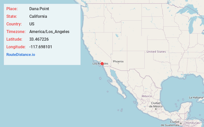
Full AddressDana Point, CA
-
Coordinates33.4672256, -117.6981014
-
LocationDana Point , California , US
-
TimezoneAmerica/Los_Angeles
-
Current Local Time4:12:17 AM America/Los_AngelesFriday, June 20, 2025
-
Website
-
Page Views0
About Dana Point
Dana Point is a city in Orange County, Southern California. Dana Point Harbor, with its marinas and eclectic boutiques, is a jumping off point for dolphin and whale-watching cruises. Surf waves roll onto nearby Doheny State Beach and Salt Creek Beach, which is backed by a grassy park. Trails wind through Dana Point Headlands Conservation Area, which has sweeping ocean views and an interpretive center.


Nearby Places
Found 10 places within 50 miles

San Juan Capistrano
3.1 mi
5.0 km
San Juan Capistrano, CA
Get directions

Laguna Niguel
4.0 mi
6.4 km
Laguna Niguel, CA
Get directions

San Clemente
5.6 mi
9.0 km
San Clemente, CA
Get directions

Aliso Viejo
7.2 mi
11.6 km
Aliso Viejo, CA
Get directions

Mission Viejo
9.3 mi
15.0 km
Mission Viejo, CA
Get directions

Lake Forest
12.4 mi
20.0 km
Lake Forest, CA
Get directions

Rancho Santa Margarita
13.1 mi
21.1 km
Rancho Santa Margarita, CA
Get directions

Newport Beach
13.9 mi
22.4 km
Newport Beach, CA
Get directions

Irvine
16.7 mi
26.9 km
Irvine, CA
Get directions

Costa Mesa
18.1 mi
29.1 km
Costa Mesa, CA
Get directions
Location Links
Local Weather
Weather Information
Coming soon!
Location Map
Static map view of Dana Point, California
Browse Places by Distance
Places within specific distances from Dana Point
Short Distances
Long Distances
Click any distance to see all places within that range from Dana Point. Distances shown in miles (1 mile ≈ 1.61 kilometers).