Distance to Darboy, Wisconsin

Calculating Your Route
Just a moment while we process your request...
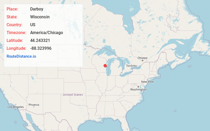
Location Information
-
Full AddressDarboy, Harrison, WI 54915
-
Coordinates44.2433205, -88.3239955
-
LocationHarrison , Wisconsin , US
-
TimezoneAmerica/Chicago
-
Current Local Time9:40:50 PM America/ChicagoWednesday, June 18, 2025
-
Page Views0
About Darboy
Darboy is an unincorporated community in Outagamie County in the Fox Cities area of the U.S. state of Wisconsin. Located in the town of Buchanan, Darboy extends from the Calumet County line on the south, Highway CE on the north, State Park Road on the east, and Highway 441 on the west.
Nearby Places
Found 10 places within 50 miles

Harrison
0.6 mi
1.0 km
Harrison, WI
Get directions

Combined Locks
1.6 mi
2.6 km
Combined Locks, WI
Get directions

Kimberly
2.1 mi
3.4 km
Kimberly, WI
Get directions

Little Chute
2.5 mi
4.0 km
Little Chute, WI
Get directions

Kaukauna
3.5 mi
5.6 km
Kaukauna, WI 54130
Get directions

Appleton
4.3 mi
6.9 km
Appleton, WI
Get directions

Sherwood
5.8 mi
9.3 km
Sherwood, WI
Get directions

Menasha
6.7 mi
10.8 km
Menasha, WI
Get directions

Neenah
7.9 mi
12.7 km
Neenah, WI 54956
Get directions
Forest Junction
9.2 mi
14.8 km
Forest Junction, WI
Get directions
Location Links
Local Weather
Weather Information
Coming soon!
Location Map
Static map view of Darboy, Wisconsin
Browse Places by Distance
Places within specific distances from Darboy
Short Distances
Long Distances
Click any distance to see all places within that range from Darboy. Distances shown in miles (1 mile ≈ 1.61 kilometers).