Distance to Daretown, New Jersey

Calculating Your Route
Just a moment while we process your request...
Location Information
-
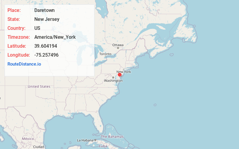
Full AddressDaretown, Upper Pittsgrove, NJ 08318
-
Coordinates39.604194, -75.257496
-
NeighborhoodDaretown
-
LocationUpper Pittsgrove , New Jersey , US
-
TimezoneAmerica/New_York
-
Current Local Time10:23:48 PM America/New_YorkTuesday, June 17, 2025
-
Page Views0
About Daretown
Daretown is an unincorporated community within Upper Pittsgrove Township in Salem County, in the U.S. state of New Jersey.
Alloway Creek flows south of Daretown, while the Salem River flows to the north.
Nearby Places
Found 10 places within 50 miles

Foxs Mill
0.7 mi
1.1 km
Foxs Mill, Upper Pittsgrove, NJ 08318
Get directions
Paulding
1.4 mi
2.3 km
Paulding, Pilesgrove, NJ 08098
Get directions
Upper Pittsgrove
1.7 mi
2.7 km
Upper Pittsgrove, NJ
Get directions
Ballingers Mill
2.0 mi
3.2 km
Ballingers Mill, Alloway Township, NJ 08318
Get directions
Richmantown
2.5 mi
4.0 km
Richmantown, Pilesgrove, NJ 08098
Get directions
Shirley
2.6 mi
4.2 km
Shirley, Upper Pittsgrove, NJ 08318
Get directions

Pilesgrove
4.2 mi
6.8 km
Pilesgrove, NJ 08098
Get directions
Fenwick
4.3 mi
6.9 km
Fenwick, Mannington Township, NJ 08098
Get directions

Elmer
4.7 mi
7.6 km
Elmer, NJ 08318
Get directions
Pine Tavern
4.7 mi
7.6 km
Pine Tavern, Upper Pittsgrove, NJ 08343
Get directions
Location Links
Local Weather
Weather Information
Coming soon!
Location Map
Static map view of Daretown, New Jersey
Browse Places by Distance
Places within specific distances from Daretown
Short Distances
Long Distances
Click any distance to see all places within that range from Daretown. Distances shown in miles (1 mile ≈ 1.61 kilometers).