Distance to Darlington Township, Kansas

Calculating Your Route
Just a moment while we process your request...
Location Information
-
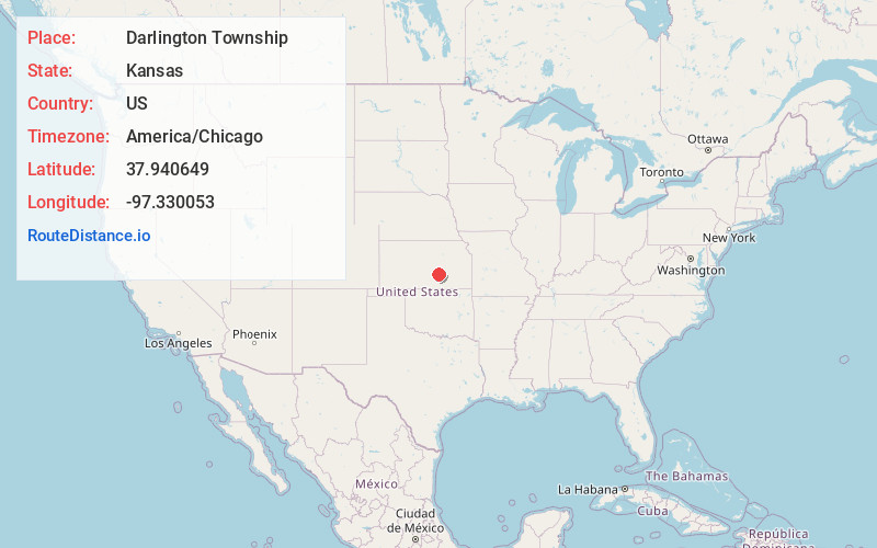
Full AddressDarlington Township, KS
-
Coordinates37.940649, -97.330053
-
LocationDarlington Township , Kansas , US
-
TimezoneAmerica/Chicago
-
Current Local Time8:23:44 PM America/ChicagoFriday, June 13, 2025
-
Page Views0
About Darlington Township
Darlington Township is a township in Harvey County, Kansas, United States. As of the 2000 census, its population was 601.

Nearby Places
Found 10 places within 50 miles

Putnam
3.7 mi
6.0 km
Putnam, Sedgwick Township, KS 67135
Get directions

Harvey County
4.4 mi
7.1 km
Harvey County, KS
Get directions
Sunnydale
5.3 mi
8.5 km
Sunnydale, Kechi, KS 67147
Get directions
McGraw
5.4 mi
8.7 km
McGraw, Newton Township, KS 67114
Get directions
McLains
5.5 mi
8.9 km
McLains, KS 67114
Get directions
Sedgwick
5.6 mi
9.0 km
Sedgwick, KS 67135
Get directions
Van Arsdale
6.7 mi
10.8 km
Van Arsdale, Sedgwick Township, KS 67114
Get directions
Annelly
7.3 mi
11.7 km
Annelly, KS 67114
Get directions

Newton
7.4 mi
11.9 km
Newton, KS
Get directions

Valley Center
7.8 mi
12.6 km
Valley Center, KS
Get directions
Location Links
Local Weather
Weather Information
Coming soon!
Location Map
Static map view of Darlington Township, Kansas
Browse Places by Distance
Places within specific distances from Darlington Township
Short Distances
Long Distances
Click any distance to see all places within that range from Darlington Township. Distances shown in miles (1 mile ≈ 1.61 kilometers).