Distance to Darlow, Kansas

Calculating Your Route
Just a moment while we process your request...
Location Information
-
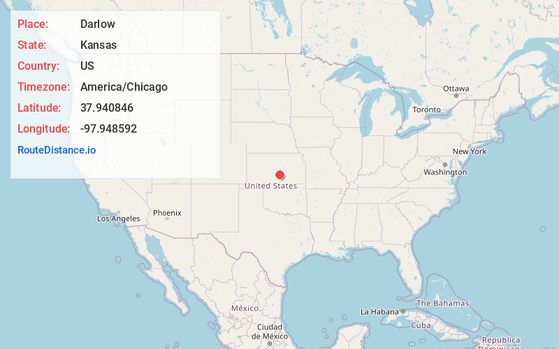
Full AddressDarlow, KS 67501
-
Coordinates37.9408456, -97.9485915
-
LocationDarlow , Kansas , US
-
TimezoneAmerica/Chicago
-
Current Local Time4:33:49 PM America/ChicagoSunday, June 15, 2025
-
Page Views0
About Darlow
Darlow is an unincorporated community in Lincoln Township, Reno County, Kansas, United States. It is located several miles west of Yoder along Red Rock Road.
Nearby Places
Found 10 places within 50 miles

Elmer
2.2 mi
3.5 km
Elmer, Lincoln Township, KS 67501
Get directions

Yoder
4.4 mi
7.1 km
Yoder, KS
Get directions
Castleton
5.2 mi
8.4 km
Castleton, KS 67501
Get directions
Whiteside
5.9 mi
9.5 km
Whiteside, KS 67501
Get directions

South Hutchinson
6.0 mi
9.7 km
South Hutchinson, KS
Get directions

Partridge
8.1 mi
13.0 km
Partridge, KS 67566
Get directions

Hutchinson
8.4 mi
13.5 km
Hutchinson, KS
Get directions

Haven
9.5 mi
15.3 km
Haven, KS 67543
Get directions
Obeeville
9.7 mi
15.6 km
Obeeville, Hutchinson, KS 67501
Get directions
Punkin Center
10.7 mi
17.2 km
Punkin Center, Valley Township, KS 67501
Get directions
Location Links
Local Weather
Weather Information
Coming soon!
Location Map
Static map view of Darlow, Kansas
Browse Places by Distance
Places within specific distances from Darlow
Short Distances
Long Distances
Click any distance to see all places within that range from Darlow. Distances shown in miles (1 mile ≈ 1.61 kilometers).