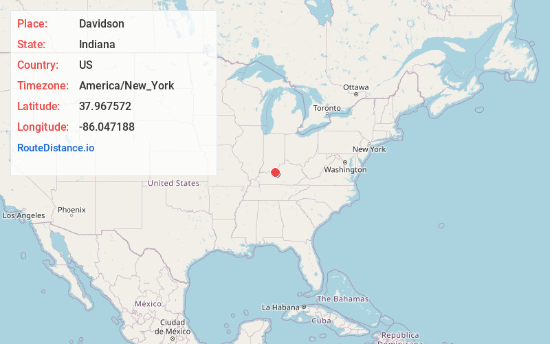
Distance to Davidson, Indiana

Calculating Your Route
Just a moment while we process your request...
Location Information
-
Full AddressDavidson, Boone Township, IN 47135
-
Coordinates37.9675717, -86.0471881
-
LocationBoone Township , Indiana , US
-
TimezoneAmerica/New_York
-
Current Local Time4:18:12 PM America/New_YorkFriday, May 23, 2025
-
Page Views0
Nearby Places
Found 10 places within 50 miles

Lickskillet
2.4 mi
3.9 km
Lickskillet, KY 40108
Get directions
Muldraugh
3.8 mi
6.1 km
Muldraugh, KY
Get directions

Laconia
4.9 mi
7.9 km
Laconia, IN 47135
Get directions
Howard
4.9 mi
7.9 km
Howard, West Point, KY 40177
Get directions
Brandenburg Station
5.1 mi
8.2 km
Brandenburg Station, KY 40108
Get directions

West Point
5.8 mi
9.3 km
West Point, KY 40177
Get directions

Fort Knox
6.1 mi
9.8 km
Fort Knox, KY 40121
Get directions
Eastwood Hills
6.8 mi
10.9 km
Eastwood Hills, Brandenburg, KY 40108
Get directions
Katharyn
6.8 mi
10.9 km
Katharyn, KY 40177
Get directions
Gaffey Heights
7.1 mi
11.4 km
Gaffey Heights, Fort Knox, KY 40121
Get directions
Location Links
Local Weather
Weather Information
Coming soon!
Location Map
Static map view of Davidson, Indiana
Browse Places by Distance
Places within specific distances from Davidson
Short Distances
Long Distances
Click any distance to see all places within that range from Davidson. Distances shown in miles (1 mile ≈ 1.61 kilometers).