Distance to West Point, Kentucky

Calculating Your Route
Just a moment while we process your request...
Location Information
-
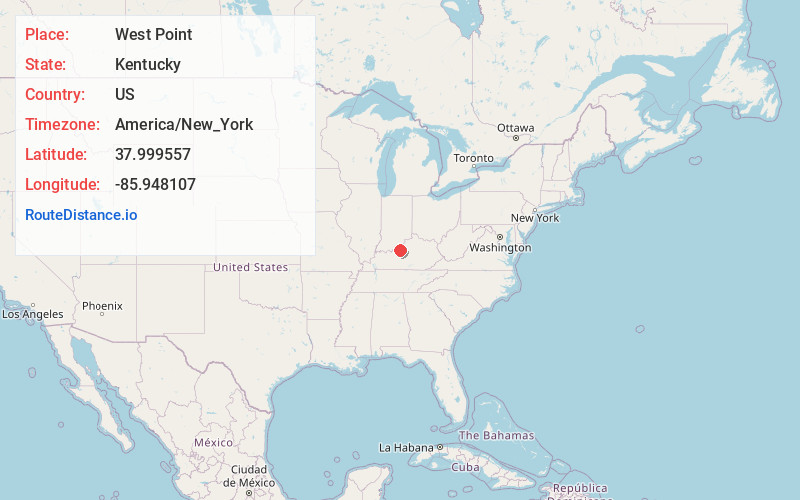
Full AddressWest Point, KY 40177
-
Coordinates37.9995567, -85.9481072
-
LocationWest Point , Kentucky , US
-
TimezoneAmerica/New_York
-
Current Local Time8:55:47 PM America/New_YorkWednesday, June 25, 2025
-
Page Views0
About West Point
West Point is a home rule-class city in Hardin County, Kentucky, United States, near the edge of Fort Knox military reservation on Dixie Highway. It is located in a former meander bend of the Ohio River.


Nearby Places
Found 10 places within 50 miles

Muldraugh
5.0 mi
8.0 km
Muldraugh, KY
Get directions

Fort Knox
5.8 mi
9.3 km
Fort Knox, KY 40121
Get directions

Radcliff
11.2 mi
18.0 km
Radcliff, KY
Get directions

Brandenburg
12.2 mi
19.6 km
Brandenburg, KY 40108
Get directions

Shepherdsville
12.7 mi
20.4 km
Shepherdsville, KY
Get directions

Brooks
13.0 mi
20.9 km
Brooks, KY
Get directions

Vine Grove
13.2 mi
21.2 km
Vine Grove, KY
Get directions

Shively
15.3 mi
24.6 km
Shively, KY
Get directions
Pioneer Village
15.5 mi
24.9 km
Pioneer Village, KY
Get directions
Hebron Estates
15.5 mi
24.9 km
Hebron Estates, KY 40165
Get directions
Location Links
Local Weather
Weather Information
Coming soon!
Location Map
Static map view of West Point, Kentucky
Browse Places by Distance
Places within specific distances from West Point
Short Distances
Long Distances
Click any distance to see all places within that range from West Point. Distances shown in miles (1 mile ≈ 1.61 kilometers).