Distance to Davistown, North Carolina

Calculating Your Route
Just a moment while we process your request...
Location Information
-
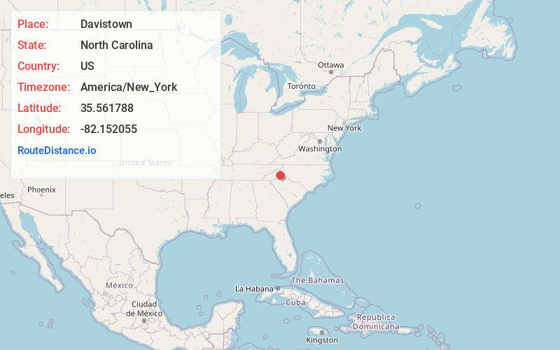
Full AddressDavistown, NC 28762
-
Coordinates35.5617882, -82.1520553
-
LocationDavistown , North Carolina , US
-
TimezoneAmerica/New_York
-
Current Local Time6:00:50 AM America/New_YorkWednesday, June 18, 2025
-
Page Views0
Nearby Places
Found 10 places within 50 miles

Lackey Town
3.5 mi
5.6 km
Lackey Town, NC 28762
Get directions
Whitehouse
4.2 mi
6.8 km
Whitehouse, NC 28167
Get directions

Old Fort
4.9 mi
7.9 km
Old Fort, NC 28762
Get directions
Sugar Hill
6.4 mi
10.3 km
Sugar Hill, NC 28752
Get directions
Greenlee
7.3 mi
11.7 km
Greenlee, NC 28762
Get directions
Bills Creek
7.8 mi
12.6 km
Bills Creek, NC 28746
Get directions

Ridgecrest
8.4 mi
13.5 km
Ridgecrest, NC 28711
Get directions
Shumont
8.7 mi
14.0 km
Shumont, NC 28711
Get directions
Graphite
8.8 mi
14.2 km
Graphite, NC 28762
Get directions

West Marion
9.4 mi
15.1 km
West Marion, NC 28752
Get directions
Location Links
Local Weather
Weather Information
Coming soon!
Location Map
Static map view of Davistown, North Carolina
Browse Places by Distance
Places within specific distances from Davistown
Short Distances
Long Distances
Click any distance to see all places within that range from Davistown. Distances shown in miles (1 mile ≈ 1.61 kilometers).