Distance to Daw, Virginia

Calculating Your Route
Just a moment while we process your request...
Location Information
-
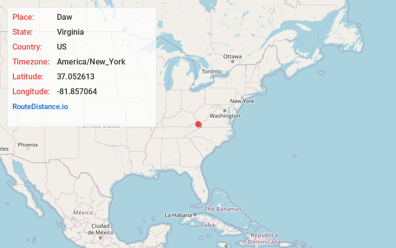
Full AddressDaw, VA 24649
-
Coordinates37.0526128, -81.8570643
-
LocationVirginia , US
-
TimezoneAmerica/New_York
-
Current Local Time1:54:55 PM America/New_YorkTuesday, May 27, 2025
-
Page Views0
Nearby Places
Found 10 places within 50 miles

Raven
2.4 mi
3.9 km
Raven, VA
Get directions

Birmingham
2.8 mi
4.5 km
Birmingham, Richlands, VA 24609
Get directions
Doran
3.2 mi
5.1 km
Doran, VA 24641
Get directions

Swords Creek
3.5 mi
5.6 km
Swords Creek, VA 24260
Get directions
Wardell
3.8 mi
6.1 km
Wardell, VA 24609
Get directions
Dye
3.9 mi
6.3 km
Dye, VA 24649
Get directions

Richlands
4.5 mi
7.2 km
Richlands, VA
Get directions
Repass
5.2 mi
8.4 km
Repass, VA 24609
Get directions
Fork Ridge
5.8 mi
9.3 km
Fork Ridge, VA 24639
Get directions

Claypool Hill
5.8 mi
9.3 km
Claypool Hill, VA
Get directions
Location Links
Local Weather
Weather Information
Coming soon!
Location Map
Static map view of Daw, Virginia
Browse Places by Distance
Places within specific distances from Daw
Short Distances
Long Distances
Click any distance to see all places within that range from Daw. Distances shown in miles (1 mile ≈ 1.61 kilometers).