Distance to Swords Creek, Virginia

Calculating Your Route
Just a moment while we process your request...
Location Information
-
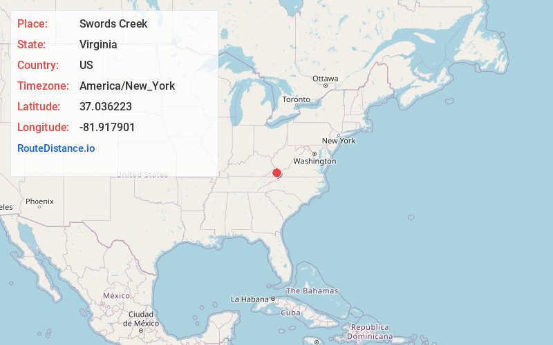
Full AddressSwords Creek, VA 24260
-
Coordinates37.0362229, -81.9179008
-
LocationSwords Creek , Virginia , US
-
TimezoneAmerica/New_York
-
Current Local Time6:43:56 PM America/New_YorkFriday, June 20, 2025
-
Page Views0
About Swords Creek
Swords Creek is an unincorporated community in Russell County, Virginia, United States. Swords Creek is located at the junction of Virginia State Route 67 and State Route 633, 3.4 miles east-northeast of Honaker. Swords Creek has a post office with ZIP code 24649.

Nearby Places
Found 10 places within 50 miles

Honaker
3.4 mi
5.5 km
Honaker, VA 24260
Get directions

Raven
4.9 mi
7.9 km
Raven, VA
Get directions

Rosedale
5.4 mi
8.7 km
Rosedale, VA 24280
Get directions
Doran
6.2 mi
10.0 km
Doran, VA 24641
Get directions
Birmingham
6.3 mi
10.1 km
Birmingham, Richlands, VA 24609
Get directions

Richlands
7.9 mi
12.7 km
Richlands, VA
Get directions

Claypool Hill
9.3 mi
15.0 km
Claypool Hill, VA
Get directions
Elk Garden
9.4 mi
15.1 km
Elk Garden, VA 24266
Get directions

Cedar Bluff
9.5 mi
15.3 km
Cedar Bluff, VA
Get directions
Nash Ford
9.8 mi
15.8 km
Nash Ford, VA 24260
Get directions
Location Links
Local Weather
Weather Information
Coming soon!
Location Map
Static map view of Swords Creek, Virginia
Browse Places by Distance
Places within specific distances from Swords Creek
Short Distances
Long Distances
Click any distance to see all places within that range from Swords Creek. Distances shown in miles (1 mile ≈ 1.61 kilometers).