Distance to Cedar Bluff, Virginia

Calculating Your Route
Just a moment while we process your request...
Location Information
-
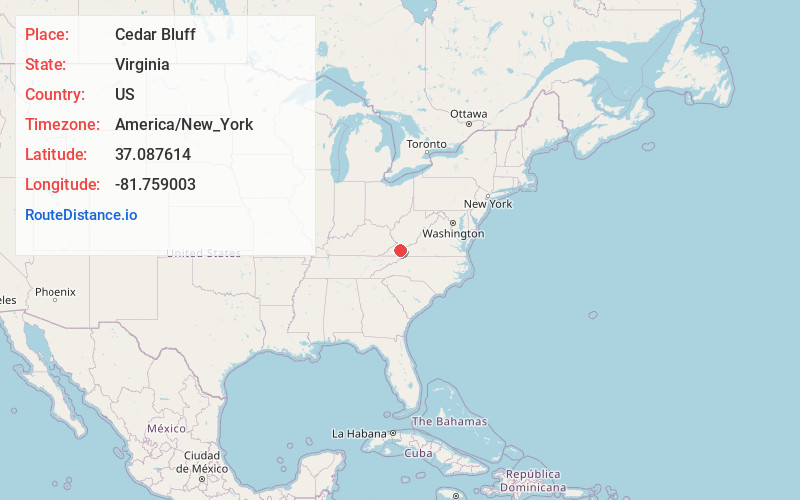
Full AddressCedar Bluff, VA
-
Coordinates37.0876141, -81.7590032
-
LocationCedar Bluff , Virginia , US
-
TimezoneAmerica/New_York
-
Current Local Time9:21:41 PM America/New_YorkTuesday, May 27, 2025
-
Website
-
Page Views0
About Cedar Bluff
Cedar Bluff is a town in Tazewell County, Virginia, United States. The population was 1,139 at the 2010 census. It is part of the Bluefield, WV-VA micropolitan area, which has a population of 107,578.


Nearby Places
Found 10 places within 50 miles

Claypool Hill
1.8 mi
2.9 km
Claypool Hill, VA
Get directions

Richlands
2.0 mi
3.2 km
Richlands, VA
Get directions

Raven
5.3 mi
8.5 km
Raven, VA
Get directions

Tazewell
13.3 mi
21.4 km
Tazewell, VA
Get directions

Saltville
14.2 mi
22.9 km
Saltville, VA
Get directions

Chilhowie
20.4 mi
32.8 km
Chilhowie, VA 24319
Get directions

Glade Spring
20.5 mi
33.0 km
Glade Spring, VA 24340
Get directions

Lebanon
21.9 mi
35.2 km
Lebanon, VA 24266
Get directions

Marion
22.1 mi
35.6 km
Marion, VA 24354
Get directions

Adwolfe
22.8 mi
36.7 km
Adwolfe, VA
Get directions
Location Links
Local Weather
Weather Information
Coming soon!
Location Map
Static map view of Cedar Bluff, Virginia
Browse Places by Distance
Places within specific distances from Cedar Bluff
Short Distances
Long Distances
Click any distance to see all places within that range from Cedar Bluff. Distances shown in miles (1 mile ≈ 1.61 kilometers).