Distance to Tazewell, Virginia

Calculating Your Route
Just a moment while we process your request...
Location Information
-
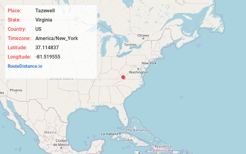
Full AddressTazewell, VA
-
Coordinates37.1148374, -81.5195548
-
LocationTazewell , Virginia , US
-
TimezoneAmerica/New_York
-
Current Local Time3:57:38 PM America/New_YorkThursday, May 22, 2025
-
Website
-
Page Views0
About Tazewell
Tazewell is a town in Tazewell County, Virginia, United States. The population was 4,627 at the 2010 census. It is part of the Bluefield micropolitan area, which has a population of 107,578. It is the county seat of Tazewell County.


Nearby Places
Found 10 places within 50 miles

Richlands
15.2 mi
24.5 km
Richlands, VA
Get directions

Bluefield
16.7 mi
26.9 km
Bluefield, VA 24605
Get directions

Marion
19.3 mi
31.1 km
Marion, VA 24354
Get directions

Bluefield
19.6 mi
31.5 km
Bluefield, WV
Get directions

Wytheville
26.6 mi
42.8 km
Wytheville, VA 24382
Get directions

Princeton
28.8 mi
46.3 km
Princeton, WV 24740
Get directions

Abingdon
37.7 mi
60.7 km
Abingdon, VA
Get directions

Pulaski
41.0 mi
66.0 km
Pulaski, VA 24301
Get directions

Galax
45.5 mi
73.2 km
Galax, VA 24333
Get directions

Woodlawn
47.1 mi
75.8 km
Woodlawn, VA
Get directions
Location Links
Local Weather
Weather Information
Coming soon!
Location Map
Static map view of Tazewell, Virginia
Browse Places by Distance
Places within specific distances from Tazewell
Short Distances
Long Distances
Click any distance to see all places within that range from Tazewell. Distances shown in miles (1 mile ≈ 1.61 kilometers).