Distance to Wytheville, Virginia

Calculating Your Route
Just a moment while we process your request...
Location Information
-
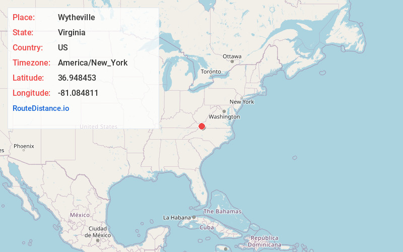
Full AddressWytheville, VA 24382
-
Coordinates36.9484528, -81.084811
-
LocationWytheville , Virginia , US
-
TimezoneAmerica/New_York
-
Current Local Time1:16:29 PM America/New_YorkTuesday, July 1, 2025
-
Website
-
Page Views0
About Wytheville
Wytheville is a town in, and the county seat of, Wythe County, Virginia, United States. It is named after George Wythe, a signer of the United States Declaration of Independence and mentor to Thomas Jefferson. Wytheville's population was 8,264 at the 2020 census.


Nearby Places
Found 7 places within 50 miles

Pulaski
18.2 mi
29.3 km
Pulaski, VA 24301
Get directions

Woodlawn
21.3 mi
34.3 km
Woodlawn, VA
Get directions

Bluefield
23.5 mi
37.8 km
Bluefield, WV
Get directions

Radford
30.8 mi
49.6 km
Radford, VA
Get directions

Christiansburg
39.3 mi
63.2 km
Christiansburg, VA 24073
Get directions

Mt Airy
40.8 mi
65.7 km
Mt Airy, NC 27030
Get directions

Blacksburg
41.7 mi
67.1 km
Blacksburg, VA
Get directions
Location Links
Local Weather
Weather Information
Coming soon!
Location Map
Static map view of Wytheville, Virginia
Browse Places by Distance
Places within specific distances from Wytheville
Short Distances
Long Distances
Click any distance to see all places within that range from Wytheville. Distances shown in miles (1 mile ≈ 1.61 kilometers).