Distance to Marion, Virginia

Calculating Your Route
Just a moment while we process your request...
Location Information
-
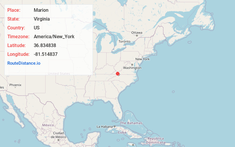
Full AddressMarion, VA 24354
-
Coordinates36.8348383, -81.5148368
-
LocationMarion , Virginia , US
-
TimezoneAmerica/New_York
-
Current Local Time6:43:21 AM America/New_YorkFriday, June 13, 2025
-
Website
-
Page Views0
About Marion
Marion is a town in, and the county seat of, Smyth County, Virginia, United States. It is positioned upon Interstate 81, in the Blue Ridge portion of the Southern Appalachian mountains in Southwest Virginia. The town is named for American Revolutionary War officer Francis Marion.


Nearby Places
Found 10 places within 50 miles

Wytheville
25.0 mi
40.2 km
Wytheville, VA 24382
Get directions

Abingdon
27.0 mi
43.5 km
Abingdon, VA
Get directions

Bluefield
34.1 mi
54.9 km
Bluefield, WV
Get directions

Galax
34.8 mi
56.0 km
Galax, VA 24333
Get directions

Woodlawn
39.1 mi
62.9 km
Woodlawn, VA
Get directions

Bristol
39.1 mi
62.9 km
Bristol, VA
Get directions

Bristol
40.8 mi
65.7 km
Bristol, TN
Get directions

Princeton
43.2 mi
69.5 km
Princeton, WV 24740
Get directions

Pulaski
43.2 mi
69.5 km
Pulaski, VA 24301
Get directions

Boone
43.6 mi
70.2 km
Boone, NC
Get directions
Location Links
Local Weather
Weather Information
Coming soon!
Location Map
Static map view of Marion, Virginia
Browse Places by Distance
Places within specific distances from Marion
Short Distances
Long Distances
Click any distance to see all places within that range from Marion. Distances shown in miles (1 mile ≈ 1.61 kilometers).