Distance to Dawes County, Nebraska

Calculating Your Route
Just a moment while we process your request...
Location Information
-
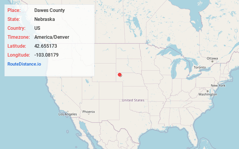
Full AddressDawes County, NE
-
Coordinates42.6551733, -103.0817903
-
LocationNebraska , US
-
TimezoneAmerica/Denver
-
Current Local Time8:27:09 AM America/DenverFriday, May 23, 2025
-
Page Views0
About Dawes County
Dawes County is a county in the U.S. state of Nebraska. As of the 2020 United States census, the population was 8,199. Its county seat is Chadron. The county was formed in 1885; it was named for James W. Dawes, the Nebraska Governor at the time.

Nearby Places
Found 10 places within 50 miles

Whitney
12.5 mi
20.1 km
Whitney, NE 69367
Get directions

Chadron
12.7 mi
20.4 km
Chadron, NE 69337
Get directions

Bordeaux
15.7 mi
25.3 km
Bordeaux, Precinct 06, NE 69337
Get directions
Belmont
15.8 mi
25.4 km
Belmont, Precinct 10, NE 69339
Get directions

Crawford
16.6 mi
26.7 km
Crawford, NE 69339
Get directions
Horn
19.8 mi
31.9 km
Horn, Precinct 11, NE 69339
Get directions

Hay Springs
20.0 mi
32.2 km
Hay Springs, NE 69347
Get directions
Nonpareil
20.2 mi
32.5 km
Nonpareil, Fifteen Precinct, NE 69348
Get directions

Hemingford
23.1 mi
37.2 km
Hemingford, NE 69348
Get directions

Orella
26.9 mi
43.3 km
Orella, Precinct 11, NE 69367
Get directions
Location Links
Local Weather
Weather Information
Coming soon!
Location Map
Static map view of Dawes County, Nebraska
Browse Places by Distance
Places within specific distances from Dawes County
Short Distances
Long Distances
Click any distance to see all places within that range from Dawes County. Distances shown in miles (1 mile ≈ 1.61 kilometers).